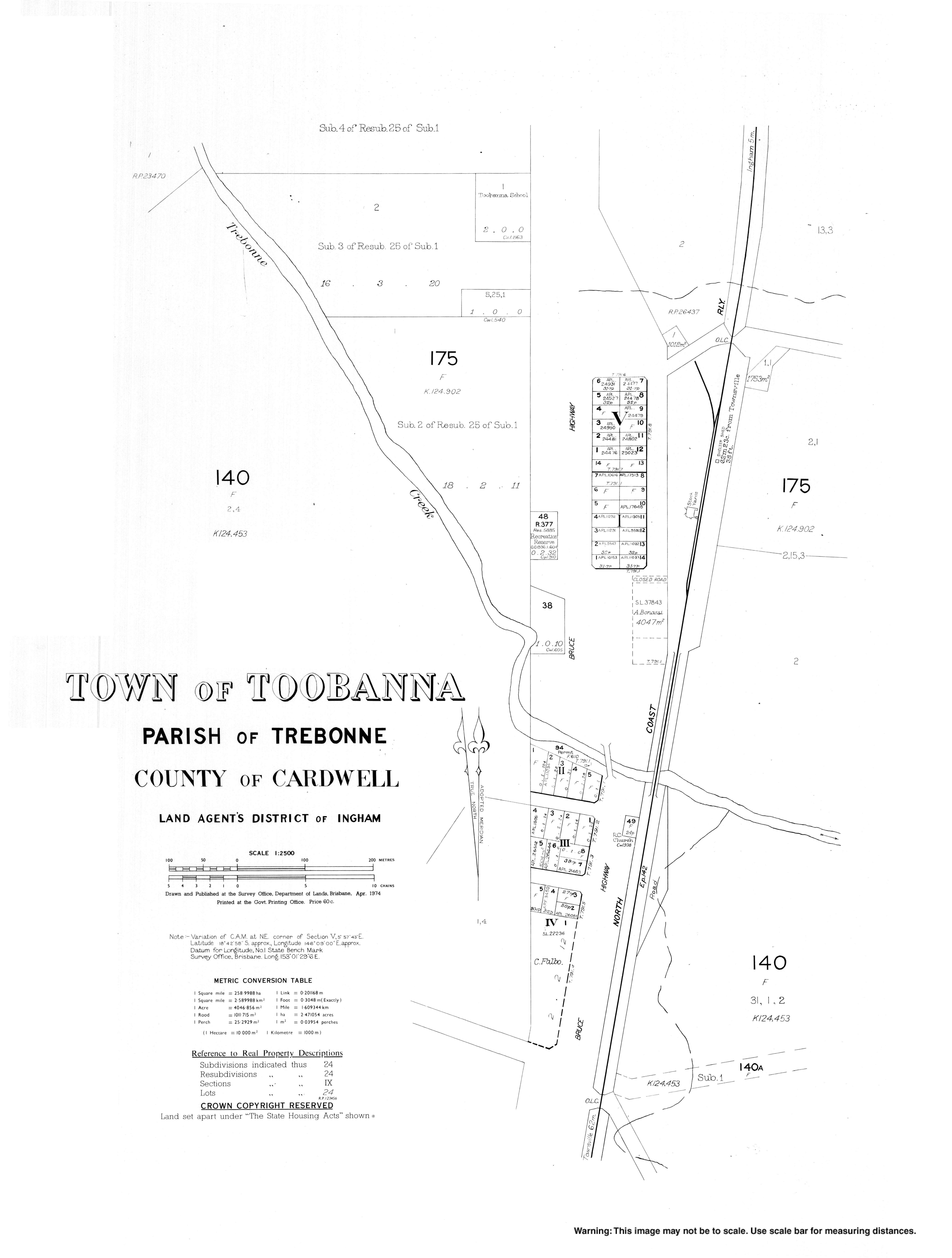
Toobanna, Queensland

Last updated

Toobanna
Queensland
Australia Queensland location map.svg
Red pog.svg
Toobanna
Coordinates 18°42′59″S146°08′55″E / 18.7163°S 146.1486°E / -18.7163; 146.1486 (Toobanna (town centre)) Coordinates: 18°42′59″S146°08′55″E / 18.7163°S 146.1486°E / -18.7163; 146.1486 (Toobanna (town centre))
Population278 (2016 census locality) [1]
 • Density7.056/km2 (18.27/sq mi)
Postcode(s) 4850
Area39.4 km2 (15.2 sq mi)
Time zone AEST (UTC+10:00)
LGA(s) Shire of Hinchinbrook
State electorate(s) Hinchinbrook
Federal Division(s) Kennedy
Localities around Toobanna:
Trebonne Ingham Blackrock
Wharps Toobanna Blackrock
Wharps Helens Hill Orient

Toobanna is a rural town and locality in the Shire of Hinchinbrook, Queensland, Australia. [2] [3] In the 2016 census, the locality of Toobanna had a population of 278 people. [1]

Contents

Geography

The town is roughly in the centre of the locality. The eastern boundary of the locality is Trebonne Creek, which then flows through the locality, just to the south of the town, and then forms the north-western boundary, ultimately being a tributary of the Herbert River which flows into the Coral Sea. The southern boundary is Cattle Creek, which ultimately flows into the Coral Sea. [4]

The locality is generally flat and low-lying (10 metres (33 feet) above sea level). It is freehold land which is used for farming with sugarcane being a major crop. [4]

The Bruce Highway and the North Coast railway line traverse the locality from south to north, passing just near the town, the railway being immediately parallel and east of the highway. [4] The town is served by the Toobanna railway station as well as private sugarcane tramways. [4] [5]

History

The town takes its name from its railway station, which was named by the Queensland Railways Department on 19 April 1916. The name Toobanna is said to be an Aboriginal word, meaning plenty of big rushes (reeds) near the water. [2]

Toobanna State School opened on 16 August 1922. [6]

In the 2016 census the locality of Toobanna had a population of 278 people. [1]

Education

Toobanna State School is a co-educational government primary school (P-6) at 49055 Bruce Highway. In 2016, the school had enrolment of 21 students with 3 teachers (2 full-time equivalent) and 6 non-teaching staff (2 full-time equivalent). [7]

Related Research Articles

Giru, Queensland Town in Queensland, Australia

Giru is a town and coastal locality in the Shire of Burdekin, Queensland, Australia, situated on the Haughton River, 54 kilometres (34 mi) south-east of Townsville. In the 2016 census, Giru had a population of 354 people.

Mossman, Queensland Town in Queensland, Australia

Mossman is a town and a locality in Far North Queensland, Australia, on the Mossman River. It is within the local government area of Shire of Douglas. In the 2016 census, Mossman had a population of 1,937 people.

Gumlu, Queensland Town in Queensland, Australia

Gumlu is a town and coastal locality in the Whitsunday Region, Queensland, Australia.

Bakers Creek, Queensland Town in Queensland, Australia

Bakers Creek is a rural town and coastal locality in the Mackay Region, Queensland, Australia. In the 2016 census the locality of Bakers Creek had a population of 1,161 people.

Minnamoolka, Queensland Suburb of Tablelands Region, Queensland, Australia

Minnamoolka is a locality in the Tablelands Region, Queensland, Australia. In the 2016 census, Minnamoolka had a population of 38 people.

Mirriwinni, Queensland Town in Queensland, Australia

Mirriwinni is a town and a locality in the Cairns Region, Queensland, Australia. The spelling Miriwinni has also been used historically, but Mirriwinni is the official spelling from 8 October 2010. In the 2016 census, Mirriwinni had a population of 447 people.

Bartle Frere, Queensland Suburb of Cairns Region, Queensland, Australia

Bartle Frere is a locality in the Cairns Region, Queensland, Australia. In the 2016 census, Bartle Frere had a population of 137 people.

Bungunya, Queensland Suburb of Goondiwindi Region, Queensland, Australia

Bungunya is a rural town and locality in the Goondiwindi Region, Queensland, Australia. The locality is on the border of Queensland and New South Wales. In the 2016 census, Bungunya had a population of 75 people.

Mulambin, Queensland Town in Queensland, Australia

Mulambin is a coastal town and locality in the Livingstone Shire, Queensland, Australia. In the 2016 census the locality of Mulambin had a population of 921 people.

Farleigh, Queensland Town in Queensland, Australia

Farleigh is a rural town and locality in the Mackay Region, Queensland, Australia. In the 2016 census the locality of Farleigh had a population of 815 people.

Mount Ossa, Queensland Town in Queensland, Australia

Mount Ossa is a rural town and a coastal locality in the Mackay Region, Queensland, Australia. In the 2016 census, the locality of Mount Ossa had a population of 224 people.

Guthalungra, Queensland Town in Queensland, Australia

Guthalungra is a town and a coastal locality in the Whitsunday Region, Queensland, Australia.

Deeral, Queensland Town in Queensland, Australia

Deeral is a town and coastal locality in the Cairns Region, Queensland, Australia. In the 2016 census, Deeral had a population of 141 people.

Fishery Falls, Queensland Suburb of Cairns Region, Queensland, Australia

Fishery Falls is a locality in the Cairns Region, Queensland, Australia. In the 2016 census, Fishery Falls had a population of 141 people.

Lower Tully, Queensland Suburb of Cassowary Coast Region, Queensland, Australia

Lower Tully is a rural locality in the Cassowary Coast Region, Queensland, Australia. In the 2016 census Lower Tully had a population of 79 people.

Bambaroo, Queensland Suburb of Shire of Hinchinbrook, Queensland, Australia

Bambaroo is a rural locality in the Shire of Hinchinbrook, Queensland, Australia. In the 2016 census Bambaroo had a population of 126 people.

Helens Hill, Queensland Suburb of Shire of Hinchinbrook, Queensland, Australia

Helens Hill is a rural locality in the Shire of Hinchinbrook, Queensland, Australia. In the 2016 census Helens Hill had a population of 123 people.

Eubenangee, Queensland Suburb of Cairns Region, Queensland, Australia

Eubenangee is a coastal locality split between the Cairns Region and the Cassowary Coast Region, Queensland, Australia. In the 2016 census, the population of Eubenangee was 242 people.

Killaloe, Queensland Suburb of Shire of Douglas, Queensland, Australia

Killaloe is a coastal rural locality in the Shire of Douglas, Queensland, Australia. In the 2016 census, Killaloe had a population of 116 people.

Dalrymple Creek, Queensland Suburb of Shire of Hinchinbrook, Queensland, Australia

Dalrymple Creek is a locality in the Shire of Hinchinbrook, Queensland, Australia. In the 2016 census, Dalrymple Creek had a population of 97 people.

References

  1. 1 2 3 Australian Bureau of Statistics (27 June 2017). "Toobanna (SSC)". 2016 Census QuickStats. Retrieved 20 October 2018. OOjs UI icon edit-ltr-progressive.svg
  2. 1 2 "Toobanna – town in Shire of Hinchinbrook (entry 34833)". Queensland Place Names. Queensland Government . Retrieved 27 December 2020.
  3. "Toobanna – locality in Shire of Hinchinbrook (entry 42528)". Queensland Place Names. Queensland Government . Retrieved 27 December 2020.
  4. 1 2 3 4 "Queensland Globe". State of Queensland . Retrieved 30 July 2017.
  5. "Toobanna – railway station in Shire of Hinchinbrook (entry 34834)". Queensland Place Names. Queensland Government . Retrieved 30 July 2017.
  6. Queensland Family History Society (2010), Queensland schools past and present (Version 1.01 ed.), Queensland Family History Society, ISBN   978-1-921171-26-0
  7. "Annual Report 2016" (PDF). Toobanna State School. Archived (PDF) from the original on 30 July 2017. Retrieved 30 July 2017.

Further reading