Cranford, New Jersey | |
|---|---|
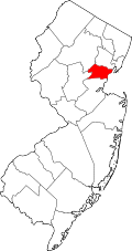
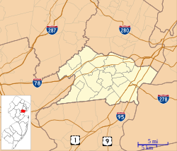 Cranford CDP Location in Union County  Cranford CDP Location in New Jersey  Cranford CDP Location in the United States | |
| Coordinates: 40°39′23″N74°18′13″W / 40.65639°N 74.30361°W | |
| Country | |
| State | |
| County | Union |
| Township | Cranford |
| Area | |
• Total | 0.34 sq mi (0.88 km2) |
| • Land | 0.34 sq mi (0.87 km2) |
| • Water | 0.0039 sq mi (0.01 km2) |
| Elevation | 69 ft (21 m) |
| Population | |
• Total | 2,032 |
| • Density | 6,032.9/sq mi (2,329.31/km2) |
| Time zone | UTC−05:00 (Eastern (EST)) |
| • Summer (DST) | UTC−04:00 (EDT) |
| ZIP Code | 07016 |
| Area code | 908 |
| FIPS code | 34-15638 [4] |
| GNIS feature ID | 2389371 [2] |
Cranford is a census-designated place (CDP) [5] comprising the downtown part of Cranford Township, Union County, in the U.S. state of New Jersey. It was first listed as a CDP prior to the 2020 census [2] with a population of population was 2,032. [6]
Contents
The CDP is bordered by Lincoln Avenue to the south and southwest, by the borough of Garwood to the west, by an unnamed stream and the Rahway River to the north and northeast, by Centennial Avenue to the east, and by Lincoln Park to the southeast. [7] New Jersey Route 28 (North Avenue) runs through the center of downtown, as does the NJ Transit Raritan Valley Line, with access at Cranford station. Elizabeth is 5 miles (8 km) to the east, and Plainfield is 6 miles (10 km) to the southwest.