Vauxhall, New Jersey | |
|---|---|
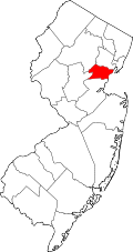
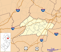 Vauxhall Location in Union County  Vauxhall Location in New Jersey  Vauxhall Location in the United States | |
| Coordinates: 40°43′06″N74°17′03″W / 40.71833°N 74.28417°W | |
| Country | |
| State | |
| County | Union |
| Township | Union |
| Area | |
• Total | 0.59 sq mi (1.52 km2) |
| • Land | 0.59 sq mi (1.52 km2) |
| • Water | 0 sq mi (0.00 km2) |
| Elevation | 190 ft (58 m) |
| Population | |
• Total | 5,251 |
| • Density | 8,919.3/sq mi (3,443.77/km2) |
| ZIP Code | 07088 [3] |
| FIPS code | 34-75590 [4] |
| GNIS feature ID | 0881436 [5] |
Vauxhall is an unincorporated community and census-designated place (CDP) [6] located within Union Township in Union County, in the U.S. state of New Jersey. [7] Vauxhall borders Millburn, Maplewood and Springfield. The area is served as United States Postal Service ZIP Code 07088. [8]
Contents
As of the 2010 United States census, the population for ZIP Code Tabulation Area 07088 was 3,606. [9]
Vauxhall is home to The Home Depot Superstore, that at 217,000 square feet (20,200 m2) was the chain's largest store in the world as of 2012. [10]