
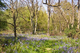
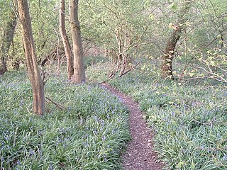
Sheet Hedges Wood is in the parish of Newtown Linford, and lies some 1-mile (1.6 km) north of Groby, in Leicestershire, UK. The site is made up of two areas of woodland and a meadow field, all with public access, extending 29 acres (120,000 m2). The woodland block is adjacent to the road includes a car park and access trails.
Launde Big Wood is a 41.1 hectares biological Site of Special Scientific Interest east of Leicester. It is part of Launde Woods nature reserve, which is owned by the Leicester Diocesan Board of Finance and managed by the Leicestershire and Rutland Wildlife Trust.

Little Catworth Meadow is a 5.2-hectare (13-acre) biological Site of Special Scientific Interest between Catworth and Spaldwick in Cambridgeshire.

Collyweston Slate Mine is a 0.9-hectare (2.2-acre) geological Site of Special Scientific Interest Northamptonshire. It is a Geological Conservation Review site.

Thorpe Morieux Woods is a 45.2-hectare (112-acre) biological Site of Special Scientific Interest north of Thorpe Morieux in Suffolk. Part of it is Bull's Wood, a nature reserve managed by the Suffolk Wildlife Trust.

Allexton Wood is a 25.9-hectare (64-acre) biological Site of Special Scientific Interest north-east of Hallaton in Leicestershire.

Great Bowden Borrowpit is a 2.4-hectare (5.9-acre) biological Site of Special Scientific Interest north of Market Harborough in Leicestershire.
Debdale Meadow, Muston is a 4.3-hectare (11-acre) biological Site of Special Scientific Interest north of Muston in Leicestershire.
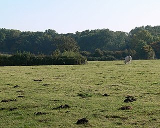
Donington Park is a 32.9-hectare (81-acre) biological Site of Special Scientific Interest west of Castle Donington in Leicestershire. It is separate from the nearby Donington Park motorsport circuit.
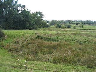
Frisby Marsh is a 10.2-hectare (25-acre) biological Site of Special Scientific Interest east of Frisby on the Wreake in Leicestershire.
Holwell Mouth is a 14.5-hectare (36-acre) biological Site of Special Scientific Interest south-east of Nether Broughton in Leicestershire. It is common land.
King Lud's Entrenchments and The Drift is a 23.9 hectares biological Site of Special Scientific Interest which straddles the border between Lincolnshire and Leicestershire, and is east of Croxton Kerrial. King Lud's Entrenchments is a Scheduled Ancient Monument.

Leighfield Forest SSSI is an 11.3 hectares biological Site of Special Scientific Interest east of Skeffington in Leicestershire, England. It consists of several fragments, including Tugby Wood, Loddington Reddish, Brown's Wood, Skeffington Wood and Tilton Wood, of the former medieval hunting Leighfield Forest, which straddles Leicestershire and Rutland. It is a Nature Conservation Review site, Grade II.

Owston Woods is a 139.6 hectares biological Site of Special Scientific Interest south of Owston in Leicestershire.

Shepshed Cutting is a 6.0 hectares geological Site of Special Scientific Interest west of Shepshed in Leicestershire.

Stanford Park is a 20.4 hectares biological Site of Special Scientific Interest east of Swinford in Leicestershire.

Stonesby Quarry is a 3.2 hectares biological Site of Special Scientific Interest between Stonesby and Waltham on the Wolds in Leicestershire. It is part of a 4 hectare nature reserve managed by the Leicestershire and Rutland Wildlife Trust.

Gipsy Lane Pit is a 0.5 hectares geological Site of Special Scientific Interest in Leicester. It is a Geological Conservation Review site.
Felpham SSSI is a 1-hectare (2.5-acre) geological Site of Special Scientific Interest in Bognor Regis in West Sussex. It is a Geological Conservation Review site.
