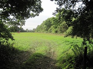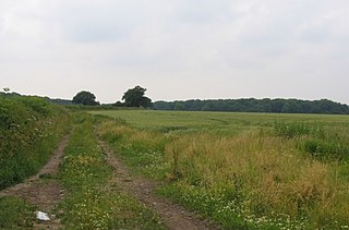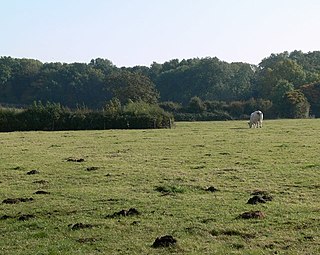
Croxton Park is a 97.3-hectare (240-acre) biological Site of Special Scientific Interest south-west of Croxton Kerrial in Leicestershire.

Castor Hanglands is an 89.8-hectare (222-acre) biological Site of Special Scientific Interest west of Peterborough in Cambridgeshire. The site is also a National Nature Reserve, and it is a Nature Conservation Review site, Grade I for its woodlands and Grade 2 for its grassland. It is common land managed by Natural England.

Godmanchester Eastside Common is a 29.7-hectare (73-acre) biological Site of Special Scientific Interest east of Godmanchester in Cambridgeshire. The site is registered common land.

Hemingford Grey Meadow is a 0.7-hectare (1.7-acre) biological Site of Special Scientific Interest south of Hemingford Grey in Cambridgeshire. It is managed by the Wildlife Trust for Bedfordshire, Cambridgeshire and Northamptonshire as Arthur's Meadow.

Caldecote Meadows is a 9.1-hectare (22-acre) biological Site of Special Scientific Interest in Caldecote in Cambridgeshire.

St Neots Common is a 33.4-hectare (83-acre) biological Site of Special Scientific Interest in St Neots in Cambridgeshire.

Little Catworth Meadow is a 5.2-hectare (13-acre) biological Site of Special Scientific Interest between Catworth and Spaldwick in Cambridgeshire.

Calender Meadows is a 3.1-hectare (7.7-acre) biological Site of Special Scientific Interest north of Guilsborough in Northamptonshire.

Blisworth Rectory Farm Quarry is a 1.0-hectare (2.5-acre) geological Site of Special Scientific Interest west of Blisworth in Northamptonshire. It is a Geological Conservation Review site.

Wakerley Spinney is a 4.4-hectare (11-acre) biological Site of Special Scientific Interest west of King's Cliffe in Northamptonshire.

The Gardens, Great Ashfield is a 3.8-hectare (9.4-acre) biological Site of Special Scientific Interest north of Great Ashfield in Suffolk.

Tickencote Marsh is a three hectare biological Site of Special Scientific Interest west of Tickencote and Great Casterton in Rutland.

Burbage Wood and Aston Firs is a 51.1-hectare (126-acre) biological Site of Special Scientific Interest in Leicestershire.

Twenty Acre Piece is an 8.1-hectare (20-acre) biological Site of Special Scientific Interest and registered common land east of Loughborough in Leicestershire.

Debdale Meadow, Muston is a 4.3-hectare (11-acre) biological Site of Special Scientific Interest north of Muston in Leicestershire.

River Eye SSSI is a 6.0 hectares biological Site of Special Scientific Interest covering a stretch of the River Eye between Ham Bridge, north-west of Stapleford, and the eastern outskirts of Melton Mowbray in Leicestershire. It is a Nature Conservation Review site.

River Mease SSSI is a 23.0 hectares biological Site of Special Scientific Interest. It is a stretch of the River Mease and its tributary Gilwiskaw Brook, running between Alrewas in Staffordshire and Packington in Leicestershire. It is also a Special Area of Conservation The river goes through private land, but it is crossed by roads and footpaths.

Tilton Cutting is a 4.4 hectares geological Site of Special Scientific Interest east of Tilton on the Hill in Leicestershire. It is a Geological Conservation Review site, and is owned and managed by the Leicestershire and Rutland Wildlife Trust as Tilton Railway Cutting.

Gipsy Lane Pit is a 0.5 hectares geological Site of Special Scientific Interest in Leicester. It is a Geological Conservation Review site.


