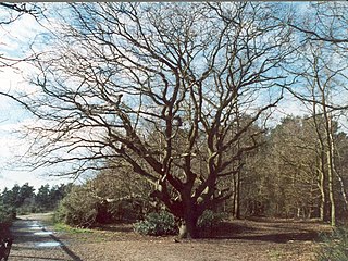
Esher Commons is a 360.1-hectare (890-acre) biological Site of Special Scientific Interest south-west of Esher in Surrey. It includes Esher Common, Fairmile Common, West End Common and Oxshott Heath. Esher Common and West End Common are Local Nature Reserves.

Calender Meadows is a 3.1-hectare (7.7-acre) biological Site of Special Scientific Interest north of Guilsborough in Northamptonshire.

Blisworth Rectory Farm Quarry is a 1.0-hectare (2.5-acre) geological Site of Special Scientific Interest west of Blisworth in Northamptonshire. It is a Geological Conservation Review site.

Dungee Corner Meadow is a 5.1-hectare (13-acre) biological Site of Special Scientific Interest east of Bozeat in Northamptonshire.

Wakerley Spinney is a 4.4-hectare (11-acre) biological Site of Special Scientific Interest west of King's Cliffe in Northamptonshire.

Lingwood Meadows is a 2.7-hectare (6.7-acre) biological Site of Special Scientific Interest east of Earl Stonham in Suffolk.
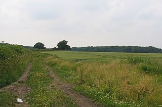
Burbage Wood and Aston Firs is a 51.1-hectare (126-acre) biological Site of Special Scientific Interest in Leicestershire.

Kendall's Meadow is a 2.7-hectare (6.7-acre) biological Site of Special Scientific Interest north of Stoke Golding in Leicestershire.

Misterton Marshes is a 6.8-hectare (17-acre) biological Site of Special Scientific Interest north of Misterton in Leicestershire.

Lockington Marshes is an 11.3-hectare (28-acre) biological Site of Special Scientific Interest north of Ratcliffe on Soar in Leicestershire.

Oakley Wood is a 48.1-hectare (119-acre) biological Site of Special Scientific Interest west of Hathern in Leicestershire.
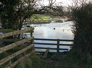
Croft Pasture is a 6.2-hectare (15-acre) biological Site of Special Scientific Interest on the outskirts of Croft in Leicestershire. Most of the site, totalling 5.8 hectares, is owned and managed by the Leicestershire and Rutland Wildlife Trust.
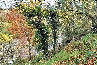
Donington Park is a 32.9-hectare (81-acre) biological Site of Special Scientific Interest west of Castle Donington in Leicestershire. It is separate from the nearby Donington Park motorsport circuit.
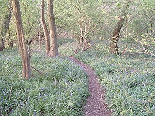
Holwell Mouth is a 14.5-hectare (36-acre) biological Site of Special Scientific Interest south-east of Nether Broughton in Leicestershire. It is common land.

Newhurst Quarry is a 9.5 hectares geological Site of Special Scientific Interest on the southern outskirts of Shepshed in Leicestershire. It is a Geological Conservation Review site.

River Mease SSSI is a 23.0 hectares biological Site of Special Scientific Interest. It is a stretch of the River Mease and its tributary Gilwiskaw Brook, running between Alrewas in Staffordshire and Packington in Leicestershire. It is also a Special Area of Conservation The river goes through private land, but it is crossed by roads and footpaths.

Lount Meadows is a 8.5 hectares biological Site of Special Scientific Interest south of Lount in Leicestershire, England.
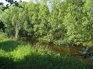
Wymondham Rough is a 6.0 hectares biological Site of Special Scientific Interest (SSSI) east of Stapleford in Leicestershire. The SSSI is part of the 12.5 hectare Wymondham Rough nature reserve, which is managed by the Leicestershire and Rutland Wildlife Trust.

Gipsy Lane Pit is a 0.5 hectares geological Site of Special Scientific Interest in Leicester. It is a Geological Conservation Review site.

Holly Rock Fields is a 3.9 hectares biological Site of Special Scientific Interest east of Coalville in Leicestershire.


