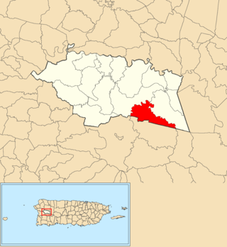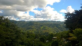
Corozal is a town and municipality of Puerto Rico located in the central-eastern region, north of Orocovis and Barranquitas; south of Vega Alta; southwest of Toa Alta; east of Morovis and Orocovis; and west of Naranjito. Corozal is spread over 12 barrios and Corozal Pueblo. It is part of the San Juan-Caguas-Guaynabo Metropolitan Statistical Area.

Lomas is a barrio in the municipality of Naranjito, Puerto Rico. Its population in 2010 was 3,865.

Palmarejo is a rural barrio with an urban zone in the municipality of Corozal, Puerto Rico. Its population in 2010 was 6,068.

Bucarabones is a barrio in the municipality of Las Marías, Puerto Rico. Its population in 2010 was 616.

Cibuco is a rural barrio with an urban zone in the municipality of Corozal, Puerto Rico. Its population in 2010 was 5,387.

Pueblo is an urban barrio in the municipality of Corozal, Puerto Rico. Its population in 2010 was 2,991.

Abras is a rural barrio with a small urban area in the municipality of Corozal, Puerto Rico. Its population in 2010 was 2,262.

Maná is a rural barrio in the municipality of Corozal, Puerto Rico. Its population in 2010 was 2,093.

Negros is a rural barrio in the municipality of Corozal, Puerto Rico. Its population in 2010 was 1,398.

Padilla is a rural barrio in the municipality of Corozal, Puerto Rico. Its population in 2010 was 3,653.

Palos Blancos is a rural barrio in the municipality of Corozal, Puerto Rico. Its population in 2010 was 3,458.

Cidra is a barrio in the municipality of Añasco, Puerto Rico. Its population in 2010 was 326.

Dos Bocas is a rural barrio with an urban zone in the municipality of Corozal, Puerto Rico. Its population in 2010 was 3,060.

Palmarito is a rural barrio in the municipality of Corozal, Puerto Rico. Its population in 2010 was 2,227.

Magueyes is a rural barrio in the municipality of Corozal, Puerto Rico. Its population in 2010 was 363.

Cuchillas is a rural barrio in the municipality of Morovis, Puerto Rico. Cuchillas has fourteen sectors and its population in 2010 was 2,333.

Corozal barrio-pueblo is an urban barrio and the administrative center (seat) of Corozal, a municipality of Puerto Rico. Its population in 2010 was 2,631.

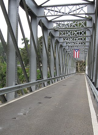
Hato Viejo is a barrio in the municipality of Ciales, Puerto Rico. Its population in 2010 was 2,442. Hato Viejo has more than a dozen sectors, a historic bridge, and folklore about a boy and a cave.

Orocovis is a barrio in the municipality of Orocovis, Puerto Rico. Its population in 2010 was 3,658.

Río Blanco is a barrio in the municipality of Naguabo, Puerto Rico. Its population in 2010 was 3,412.


