Melrose Park is a suburban community and census-designated place (CDP) in Cayuga County, New York, United States. The population was 2,294 at the 2010 census. It is a suburb of Auburn, located south of the city in the town of Owasco.

Summerhill is a town in Cayuga County, New York, United States. The population was 1,217 at the 2010 census. The town name is that of a location in Ireland. Summerhill is in the southeastern corner of the county and is northeast of Ithaca.
Cortland West is a census-designated place and region in Cortland County, New York, United States. The population was 1,356 at the 2010 census.
Munsons Corners is a hamlet and census-designated place (CDP) in Cortland County, New York, United States. The population was 2,728 at the 2010 census.
Enfield is a town in Tompkins County, New York, United States. The population was 3,401 at the 2020 census.

Forest Home is a census-designated place (CDP) in the town of Ithaca, New York, United States. The population was 572 at the 2010 census. It is located immediately east of the Cornell University campus.
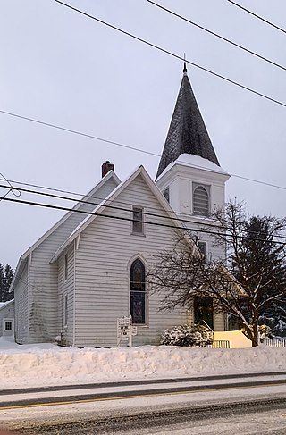
Freeville is a village in Tompkins County, New York, United States. The population was 498 at the 2020 census.
Newfield is a census-designated place (CDP) in Tompkins County, New York, United States. The population was 759 at the 2010 census.
Northeast Ithaca is a census-designated place (CDP) in Ithaca (town), New York in Tompkins County, New York, United States. The population was 2,655 at the 2000 census.
Northwest Ithaca is a census-designated place (CDP) in Tompkins County, New York, United States. The population was 1,115 at the 2000 census.

South Hill is a census-designated place (CDP) in Tompkins County, New York, United States. The population was 7,245 at the 2020 census.

Rupert is a census-designated place (CDP) in Columbia County, Pennsylvania, United States. It is part of Northeastern Pennsylvania. The population was 154 at the 2020 census. It is part of the Bloomsburg-Berwick micropolitan area.
Slabtown is a census-designated place in Columbia County, Pennsylvania, United States. It is part of Northeastern Pennsylvania. The population was 145 at the 2020 census. It is part of the Bloomsburg-Berwick micropolitan area.

East Berwick is a census-designated place (CDP) in Salem Township, Luzerne County, Pennsylvania, United States. The population was 2,007 at the 2010 census.

McKeansburg is a census-designated place (CDP) in Schuylkill County, Pennsylvania. The population was 169 at the 2020 census.

Slickville is a census-designated place (CDP) in Westmoreland County, Pennsylvania, United States. The population was 372 at the 2000 census.

City View, a former incorporated city, is now a census-designated place (CDP) in Greenville County, South Carolina, United States. The population was 1,345 at the 2010 census, up from 1,254 in 2000. It is part of the Greenville–Mauldin–Easley Metropolitan Statistical Area.
Dryden is a village in Tompkins County, New York, United States. The population was 1,887 at the 2020 census. The village is in the town of Dryden, east of Ithaca. It is near the border of Cortland County.
Groton is a village in Tompkins County, New York, United States. The population was 2,363 at the 2010 census.
Lansing is a village in Tompkins County, New York, United States, and a suburb of Ithaca. The population was 3,648 at the 2020 census.

