
The District of Diekirch was one of three districts of the Grand Duchy of Luxembourg. Immediately prior to its abolition on 3 October 2015, it contained five cantons divided into 43 communes:
- Clervaux
- Diekirch
- Redange
- Vianden
- Wiltz
The 12 cantons of the Grand Duchy of Luxembourg are subdivisions at the first level of local administrative unit (LAU-1) in the European Union's Nomenclature of Territorial Units for Statistics for Eurostat purposes. They were subdivisions of the three districts of Luxembourg until 2015, when the district level of government was abolished. The cantons are in turn subdivided into 100 communes.
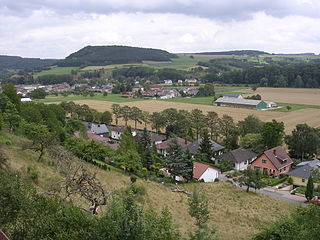
Bettendorf is a commune and town in eastern Luxembourg. It lies along the river Sauer. It is part of the canton of Diekirch, which is part of the district of Diekirch.

Diekirch is a canton in the north of Luxembourg. Neither the canton, town, nor commune of Diekirch should be confused with the former district of Diekirch, one of three administrative units in Luxembourg abolished in October 2015. It borders Germany.

Diekirch is a commune with town status in north-eastern Luxembourg, in the canton of Diekirch and, until its abolition in 2015, the district of Diekirch. The town is situated on the banks of the Sauer river.

Ettelbruck is a commune with town status in central Luxembourg, with a population of 9,965 inhabitants.
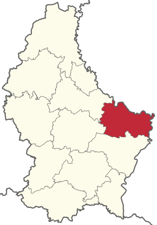
Echternach is a canton in the east of Luxembourg. It is largely coterminous with the Mullerthal region. It borders Germany.
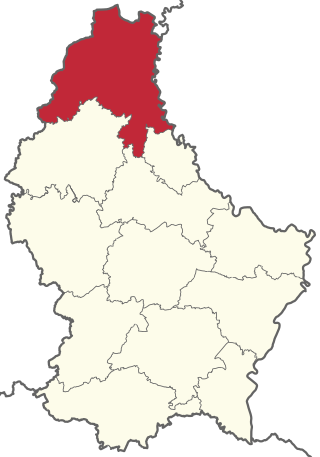
Clervaux is the largest, northernmost, highest and least densely populated canton of Luxembourg. It makes up a large part of the Éislek region. It borders Belgium & Germany.
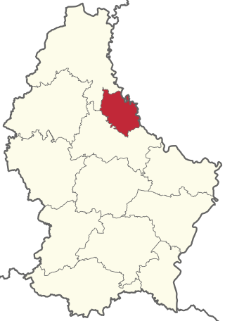
Vianden is a canton in the north of Luxembourg. It is the smallest canton in terms of both population and area. It borders Germany.

The Grand Duchy of Luxembourg is divided into cantons, which group the communes (=municipalities). A dozen of the communes have official city status, and one, Luxembourg City, is further divided into quarters.

Luxembourg's 100 communes conform to LAU Level 2 and are the country's lowest administrative divisions.

Bourscheid is a commune and small town in north-eastern Luxembourg. It is part of the canton of Diekirch, which is part of the district of Diekirch.

Ermsdorf is a village and former commune in eastern Luxembourg. It is part of the canton of Diekirch, which is part of the district of Diekirch.

Erpeldange-sur-Sûre is a commune and small town in north-eastern Luxembourg. It lies along the river Sûre, between Ettelbruck and Diekirch. It is part of the canton of Diekirch.

Hoscheid is a small town in north-eastern Luxembourg. It was a commune, part of the canton of Diekirch, which was part of the district of Diekirch.

Mertzig is a commune and town in central Luxembourg. It is part of Diekirch Canton.

Schieren is a commune and town in central Luxembourg. It is part of the canton of Diekirch.
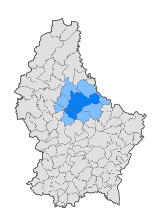
Nordstad is a development area in north-central Luxembourg, and a colloquial term to refer to the combined urban areas in the region. The name is Luxembourgish for 'northern city', but it remains the title, both formal and informal, of the region in any language.
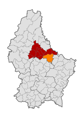
Vallée de l'Ernz is a commune in northern Luxembourg, in the canton of Diekirch. It takes its name from its situation in the valley of the White Ernz river.

Parc Hosingen is a commune in northern Luxembourg, in the canton of Clervaux. It lies on the border with Germany.


