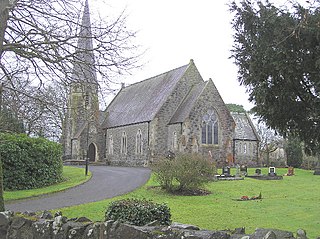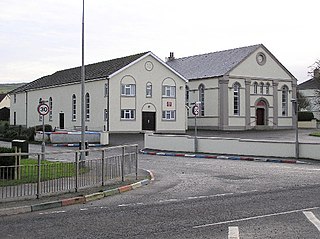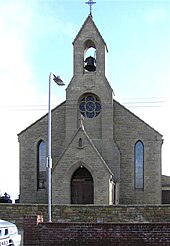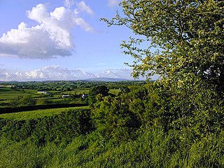
Galbally is a village in southeast County Limerick, Ireland, on the border with County Tipperary. It is located at the foot of the Galtee Mountains and at the western approach to the Glen of Aherlow. The Aherlow River, flowing down from the Galtee mountains, runs by the village, to meet the Suir at Kilmoyler a short distance north of Cahir. Galbally is in a valley overlooked by the Galtee Mountains.

Drumsurn is a small village and townland in County Londonderry, Northern Ireland. It is 8 kilometres (5.0 mi) southeast of Limavady and 10 kilometres (6.2 mi) northeast of Dungiven. It lies in the Roe Valley, at the foot of Donald's Hill and at the edge of the Sperrins. Drumsurn had a population of 357 people in the 2001 Census. It is situated within Causeway Coast and Glens district.
Maghaberry or Magaberry is a village and townland in County Antrim, Northern Ireland. It is 9 kilometres (5.6 mi) west of Lisburn and 4 kilometres (2.5 mi) north of Moira. In the 2011 Census it had a population of 4,716 people. It is one of the biggest villages within the Lisburn and Castlereagh City Council area.
Creggan is a small village, townland and civil parish near Crossmaglen in County Armagh, Northern Ireland. In the 2001 Census it had a population of 246 people. It lies within the Newry and Mourne District Council area.

Clanabogan is a small village and townland in County Tyrone, Northern Ireland. In the 2001 Census it had a population of 225 people. It lies within the Omagh District Council area.

Kilskeery is a small village and civil parish in County Tyrone, Northern Ireland. It is between Ballinamallard and Trillick. In the 2001 census it had a population of 57 people. Kilskeery is within the Omagh District Council area.

Rousky is a small village and townland in the Sperrins of County Tyrone, Northern Ireland. In the 2001 Census it had a population of 81. Rousky is on the main road between Gortin and Greencastle. It lies within the parish of Badoney Lower, the barony of Strabane Upper and the Omagh District Council area.

Magheramason is a small village and townland in County Tyrone, Northern Ireland. The village sits near the County Londonderry/County Tyrone border, 5 miles (8.0 km) from the city of Derry and 9 miles (14 km) from the town of Strabane. In the 2001 census, it had a population of 393 people. It lies within the Derry City and Strabane District Council area.
Derrycrin or Derrychrin, is a small village in County Tyrone, Northern Ireland. It is part of the parish of Ballinderry and is near the western shore of Lough Neagh. The Ballinderry River is a short distance north of the village and marks the boundary between counties Tyrone and Londonderry.
Granville is a village in County Tyrone, Northern Ireland, about 2.5 miles (4 km) southwest of Dungannon.

Carnteel ) is a hamlet, townland and civil parish, about 2 miles northeast of Aughnacloy in County Tyrone, Northern Ireland. It is situated in the historic barony of Dungannon Lower.

Newmills is a small village in east County Tyrone, Northern Ireland, 3 miles (5 km) from Dungannon and 2 miles (3 km) from Coalisland. Newmills gets its name from a corn mill and kilns that formerly stood in the area. Local amenities include a primary school, a local shop and a number of churches. It currently has a population of approximately 400 people. The River Torrent flows through the village.
Derrymore is a small village and townland in County Antrim, Northern Ireland. In the 2001 Census it had a population of 243 people. It lies on the shores of Lough Neagh, within the Armagh City, Banbridge and Craigavon Borough Council area.
Dunnamore, formerly spelt Donamore, is a village and townland in County Tyrone, Northern Ireland.

Donaghey is a small village and townland roughly halfway between Cookstown and Dungannon, just off the A29, in County Tyrone, Northern Ireland.
Declan Arthurs was a Volunteer in the Provisional IRA's (IRA), East Tyrone Brigade in the mid-1980s.


