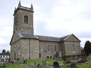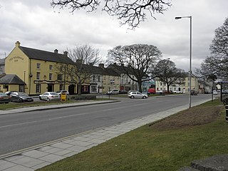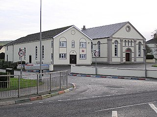
Omagh is the county town of County Tyrone, Northern Ireland. It is situated where the rivers Drumragh and Camowen meet to form the Strule. Northern Ireland's capital city, Belfast, is 68 miles (109.5 km) to the east of Omagh, and Derry is 34 miles (55 km) to the north.

Cookstown is a town in County Tyrone, Northern Ireland. It is the fourth-largest town in the county and had a population of 12,546 in the 2021 census. It, along with Magherafelt and Dungannon, is one of the main towns in the Mid-Ulster council area. It was founded around 1620 when the townlands in the area were leased by an English ecclesiastical lawyer, Dr. Alan Cooke, from the Archbishop of Armagh, who had been granted the lands after the Flight of the Earls during the Plantation of Ulster. It was one of the main centres of the linen industry west of the River Bann, and until 1956 the flax-related processes of spinning, weaving, bleaching and beetling were carried out in the town.

Draperstown is a village in the Sperrin Mountains in County Londonderry, Northern Ireland. It is situated in the civil parish of Ballinascreen and is part of Mid-Ulster district. It is also part of the Church of Ireland parish of Ballynascreen and the Catholic parish of Ballinascreen, and within the former barony of Loughinsholin.

Clogher is a village and civil parish in the border area of south County Tyrone, Northern Ireland. It lies on the River Blackwater, 5.8 miles from the border crossing to County Monaghan. It stands on the townlands of Clogher Demesne and Clogher Tenements. The 2011 Census recorded a population of 717. The civil parish of Clogher covers areas of County Fermanagh as well as County Tyrone.

Donemana is a village in County Tyrone, Northern Ireland. It is 7 miles or 11 kilometres north-east of Strabane, on the banks of the Burn Dennett and at the foothills of the Sperrins. In 2001, it was the largest of the thirteen villages in the former Strabane District Council area and it had a population of 586 in the Census that year.

Dromore is a small market town and civil parish in County Down, Northern Ireland. It lies within the local government district of Armagh City, Banbridge and Craigavon. It is 19 miles (31 km) southwest of Belfast, on the A1 Belfast–Dublin road. The 2011 census recorded a population of 6,395.

Moy is a village and townland in County Tyrone, Northern Ireland about 5 miles southeast of Dungannon and beside the smaller village of Charlemont. Charlemont is on the east bank of the River Blackwater and Moy on the west; the two are joined by Charlemont Bridge. The river is also the boundary between County Tyrone and County Armagh. The 2011 Census recorded a population of 1,598.
Landahaussy or Landahussy is a small village and townland near Plumbridge in County Tyrone, Northern Ireland. It is within the Derry City and Strabane District Council area.

Greencastle is a hamlet in County Tyrone, Northern Ireland. It is within the townland of Sheskinshule.

Rasharkin is a small village and civil parish in County Antrim, Northern Ireland. It is 13 kilometres (8.1 mi) south of Ballymoney, near Dunloy and Kilrea. It had a population of 1,114 people in the 2011 Census.

Loughgall is a small village, townland and civil parish in County Armagh, Northern Ireland. It is in the historic baronies of Armagh and Oneilland West. It had a population of 282 people in the 2011 Census. Loughgall was named after a small nearby loch. The village is surrounded by orchards.

Artigarvan is a village and townland in County Tyrone, Northern Ireland.

Ballywalter is a village or townland and civil parish in County Down, Northern Ireland. It is on the east coast of the Ards Peninsula between Donaghadee and Ballyhalbert. Ballywalter was formerly known as Whitkirk as far back as the 12th century. It had a population of 2,027 people in the 2011 census.

Tamlaght, also Tamlaght O'Crilly, is a small village, townland and civil parish in County Londonderry, Northern Ireland. In the 2001 Census it had a population of 123 people. It is situated within Mid-Ulster District.

Whitecross is a small village in County Armagh, Northern Ireland. It lies within the civil parish of Ballymyre and the townland of Corlat. In the 2011 Census it had a recorded population of 352.

Ardstraw is a small village, townland and civil parish in County Tyrone, Northern Ireland, three miles northwest of Newtownstewart. In the 2001 Census it had a population of 222 people.

Magheramason is a small village and townland in County Tyrone, Northern Ireland. The village sits near the County Londonderry/County Tyrone border, 5 miles (8.0 km) from the city of Derry and 9 miles (14 km) from the town of Strabane. In the 2001 census, it had a population of 393 people. It lies within the Derry City and Strabane District Council area.
Glenelly St Joseph's(Irish: Gleann Eallaigh Naoimh Seosaimh) is a Gaelic Athletic Association club. The club is based in Plumbridge, County Tyrone, Northern Ireland and serves the parish of Badoney Upper, which includes the villages of Plumbridge and Cranagh. The club concentrates on Gaelic football, with ladies Gaelic football also provided for.

St Johnston, officially Saint Johnstown, is a village, townland, and an electoral division in County Donegal, Ireland. It is in the Laggan district of East Donegal on the left bank of the River Foyle. It is in the civil parish of Taughboyne and barony of Raphoe North, on the R236 (Lifford–Newtowncunningham) road where it overlaps the R265 (Carrigans–Raphoe) road. The village is about 12 kilometres (7.5 mi) south of Derry.

Poyntzpass is a small village on the border between southern County Armagh and County Down in Northern Ireland. It is situated in the civil parish of Ballymore and the historic barony of Orior Lower within the Armagh City, Banbridge and Craigavon area. It had a population of 552 people in the 2011 census. It was a part of the South Armagh constituency and is now part of the Newry and Armagh constituency.


