Garfield, Colorado | |
|---|---|
 The Gimlett/LeFevre Cabin in Garfield, Colorado. | |
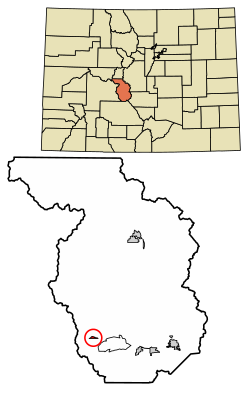 Location of the Garfield CDP in Chaffee County, Colorado. | |
 Garfield Location of the Garfield CDP in the United States. | |
| Coordinates: 38°32′57″N106°17′21″W / 38.5492680°N 106.2892760°W [1] | |
| Country | |
| State | |
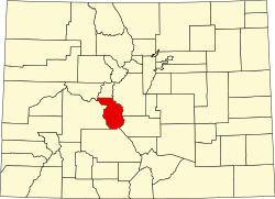
| County | Chaffee County |
| Government | |
| • Type | Unincorporated community |
| Area | |
• Total | 0.341 sq mi (0.883 km2) |
| • Land | 0.341 sq mi (0.883 km2) |
| • Water | 0.000 sq mi (0.000 km2) |
| Elevation | 9,518 ft (2,901 m) |
| Population | |
• Total | 27 |
| • Density | 79/sq mi (31/km2) |
| Time zone | UTC-7 (MST) |
| • Summer (DST) | UTC-6 (MDT) |
| ZIP Code [4] | Salida 81201 |
| Area code | 719 |
| GNIS feature ID | 2583238 [2] |
Garfield is an unincorporated community and a census-designated place (CDP) located in and governed by Chaffee County, Colorado, United States. The population of the Garfield CDP was 27 at the United States Census 2020. [3] The Salida post office (ZIP Code 81201) serves the area. [4]