Azamgarh district is one of the three districts of Azamgarh division in the Indian state of Uttar Pradesh.

Banda district is a district of Uttar Pradesh state of India, and Banda is the district headquarters. It is a part of Chitrakoot Division.

Chandauli district is a district of Uttar Pradesh state of India, and Chandauli town is the district headquarters. Chandauli district is a part of Varanasi Division. Chandauli became a separate district on 20 May 1997.

Jalaun district is a district of Uttar Pradesh, India. The district is named after the town of Jalaun, which was the former headquarters of a Maratha governor, but the administrative headquarters of the district is at Orai.

Sant Kabir Nagar district is one of the 75 districts of Uttar Pradesh state in northern India. Khalilabad is the district headquarters. Sant Kabir Nagar district is a part of Basti division. The total area of Sant Kabir Nagar district is 1,646 km2 (636 sq mi).

Ambedkar Nagar is one of the 75 districts of the Indian state of Uttar Pradesh. This district is a part of Ayodhya division in the Awadh region of the state. This district was established on 29 September 1995 by carving out parts of the erstwhile Faizabad district. It was created by the then Chief Minister Mayawati and named in memory of B. R. Ambedkar, who worked for the advancement of the depressed classes. The total area of Ambedkar Nagar district is 2350 Sq. Km.

Mirzapur district is one of the 75 districts in the Indian state of Uttar Pradesh. The district is bounded on the north by Bhadohi and Varanasi districts, on the east by Chandauli district, on the south by Sonbhadra district and on the northwest by Prayagraj. The district occupies an area of 4521 km2. Mirzapur city is the district headquarters. Mirzapur district is a part of Mirzapur division. This district is known for the Vindhyavasini temple in Vindhyachal and several tourist attractions like waterfalls like Rajdari and Devdari and dams. It consist of several Ghats where historical sculptures are still present. During the Ganges festival these Ghats are decorated with lights and earthen lamps.
A sarpanch, gram pradhan, mukhiya, or president is a decision-maker, elected by the village-level constitutional body of local self-government called the gram sabha in India. The sarpanch, together with other elected panchayat members, constitute gram panchayats and zilla panchayats. The sarpanch is the focal point of contact between government officers and the village community and retains power for five years. the term used to refer to the sarpanch can vary across different states of India. Here are some of the commonly used terms for sarpanch in various states: panchayat president, gram pramukh, gram pradhan, gram adhyaksha, gaon panchayat president, gram panchayat president, etc.
Lingampet is a panchayat village in Kamareddy district in the state of Telangana in India.

Nawabganj is a Nagar palika and an administrative subdivision of Bareilly district in the Indian state of Uttar Pradesh. A Sub Divisional Magistrate, also called Sub Divisional Officer, or pargana-adhikari is the head official.

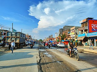
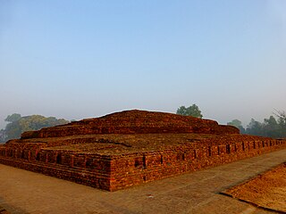
Siddharthnagar district is one of the 75 districts of the Indian state of Uttar Pradesh. Siddharthnagar is the district headquarters. Siddharthnagar district is a part of Basti division. It was under the ancient Kosala kingdom and also the Shakya kingdoms.
The Great Sherpur is a region or a pargana of 'Shankarwar Vansh' in the Mohammadabad tehsil of Ghazipur district in Uttar Pradesh. It consists of Sherpur Kalan, Sherpur Khurd, Semra, Firozpur, villages which were established by the descendants of Dullah Rai. It has population of 31322 as per 2011 Census.
Barauli Rao is a town, panchayat block and Vidhansabha constituency in Aligarh district in the Indian state of Uttar Pradesh.

Terha is a village and gram panchayat in Unnao district, Uttar Pradesh, India. Terha holds a market twice per week, on Sundays and Thursdays, and the main items of trade are gur, vegetables, and cloths. As of 2011, the population of Terha is 3,909, in 759 households, and it has one primary school and no healthcare facilities.

Ashok Bajpai is a politician from Bharatiya Janata Party and member of the Upper House of Indian Parliament – Rajya Sabha. Bajpai has been active for 40 years in Indian Politics. He was elected on Six occasions Member of Legislative Assembly (MLA) from Pihani constituency in Hardoi district, Uttar Pradesh while losing three times in the same constituency over the period of 30 years. He was also a Member of Legislative Council (MLC) of Uttar Pradesh.
Khajuri Kalan is a village in Koraon Tehsil in Prayagraj district, Uttar Pradesh, India. It is about 1.5 km by road south of the village of Pathertal, and about 1.5 km by road north of the village of Khajuri Khurd. Administratively, it is under the gram panchayat of Khajuri Khurd.
Khajuri Khurd is a panchayat village in Koraon Tehsil in Prayagraj district, Uttar Pradesh, India. Khajuri means Date Palm and Khurd means small. Khurd and Kalan Persian language word which means small and Big respectively when two villages have same name then it is distinguished as Kalan means Big and Khurd means Small with Village Name.It is approximately 1.5 km south of the village of Khajuri Kalan, and about 2 km northeast of the village of Kukurhata. Administratively, it is a gram panchayat under Koraon Tehsil. There are six villages in the Khajuri Khurd gram panchayat: Khajuri Khurd, Chak Dadar, Khajuri Kalan, Koilariha, Pachauha, and Patka Bodaha.
Jani Khurd is a large village in Meerut Tehsil and district in the Indian State of Uttar Pradesh. It is located on the bank of Ganga Canal. It is 8 km from Meerut City, which is the district city of Jani.

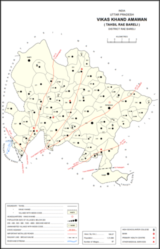
Kondras Khurd is a village in Amawan block of Rae Bareli district, Uttar Pradesh, India. It is located 5 km from Raebareli, the district headquarters. As of 2011, its population is 296, in 61 households.

Pindari Khurd is a village in Amawan block of Rae Bareli district, Uttar Pradesh, India. It is located 9 km from Raebareli, the district headquarters. As of 2011, its population is 1,615, in 300 households. It has one primary school and no healthcare facilities.


