Grass Lake | |
|---|---|
 Grass Lake  Grass Lake | |
| Coordinates: 45°46′41″N93°10′04″W / 45.77806°N 93.16778°W | |
| Country | United States |
| State | Minnesota |
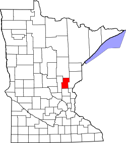
| County | Kanabec |
| Township | Grass Lake |
| Elevation | 971 ft (296 m) |
| Time zone | UTC-6 (Central (CST)) |
| • Summer (DST) | UTC-5 (CDT) |
| Area code | 320 |
| GNIS feature ID | 654733 [1] |
Grass Lake is an unincorporated community in Grass Lake Township, Kanabec County, Minnesota, United States. [1]