Back of Keppoch is a small coastal settlement in the northwest Scottish Highlands, 40 miles (64 km) west of Fort William near to the A830 road to Mallaig.

Whalsay is the sixth largest of the Shetland Islands in the north of Scotland.

St Hilary is a civil parish and village in west Cornwall, England, United Kingdom. It is situated approximately five miles (8 km) east of Penzance and four miles (6.5 km) south of Hayle.

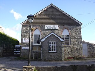
Breage is a civil parish and village in Cornwall, England, United Kingdom. The village is three miles (5 km) west of Helston.

Grade–Ruan is a civil parish on the Lizard peninsula in Cornwall, England, United Kingdom, approximately ten miles (16 km) south of Falmouth.

Gurnard's Head is a prominent headland on the north coast of the Penwith peninsula in Cornwall, England, UK. The name is supposed to reflect the fact that the rocky peninsula resembles the head of the gurnard fish.

Bornesketaig, Scottish Gaelic Borgh na Sgiotaig, is a dispersed crofting settlement in Trotternish on the Isle of Skye.

The River Allen in north Cornwall is one of two rivers of the same name in Cornwall which share this name. In this case the name is the result of a mistake made in 1888 by Ordnance Survey, replacing the name Layne with Allen which is the old name for the lower reaches of the Camel. The other River Allen runs through Truro.

Croft Mitchell is a hamlet in the parish of Camborne, Cornwall, England.

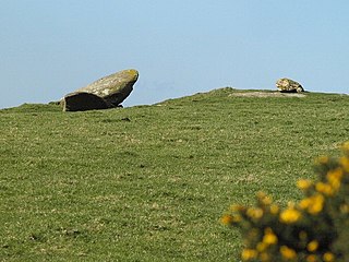
Great Bosullow is a hamlet south-east of Morvah in west Cornwall, England, UK. Bosullow Common is an extensive area of heathland. Great Bosullow lies within the Cornwall Area of Outstanding Natural Beauty (AONB). Almost a third of Cornwall has AONB designation, with the same status and protection as a National Park.

Hendra is the name of seven hamlets in Cornwall, England, UK.

Hendraburnick is a farmstead near Davidstow, Cornwall, England. On Hendraburnick Down is the source of the River Camel.

Little Bosullow is a hamlet in the civil parish of Madron, Cornwall, England, UK. Great Bosullow is to the west, Bosullow is on the B3312 Madron to Morvah road and Bosullow Common is to the north.

Rinsey Croft is a hamlet in southwest Cornwall, England, United Kingdom. It is located within the civil parish of Breage, 1 mile (1.6 km) west of the village of the same name.

Roskear Croft is a hamlet north of Camborne, Cornwall, England.

Tresevern Croft is a hamlet west of Stithians, in west Cornwall, England, United Kingdom.

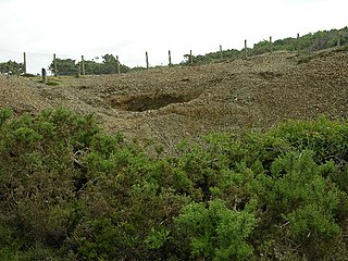
Penberthy Croft Mine, is a disused mine and Site of Special Scientific Interest (SSSI) in Cornwall, England, UK. It is located to the north of the civil parish of St Hilary, 5 miles (8.0 km) east of the town of Penzance.

Croft is a hamlet in north Herefordshire, England. With the village of Yarpole it is part of Croft and Yarpole civil parish, the population of which at the 2011 census was 552.

Watch Croft is a prominent hill, 252 metres (827 ft) high overlooking the north coast of the Cornwall, UK. Its prominence of 225 metres qualifies it as a Marilyn, one of only five in Cornwall. The others are Brown Willy, Kit Hill, Hensbarrow Beacon and Carnmenellis. It is the highest point in West Penwith.

The Beacon on Hendra Downs is a prominent hill, 369 metres (1,211 ft) high, located on the northeastern side of Bodmin Moor in the county of Cornwall, England.


