Bodmin Moor is a granite moorland in north-eastern Cornwall, England, United Kingdom. It is 208 square kilometres (80 sq mi) in size, and dates from the Carboniferous period of geological history. It includes Brown Willy, the highest point in Cornwall, and Rough Tor, a slightly lower peak. Many of Cornwall's rivers have their sources here. It has been inhabited since at least the Neolithic era, when early farmers started clearing trees and farming the land. They left their megalithic monuments, hut circles and cairns, and the Bronze Age culture that followed left further cairns, and more stone circles and stone rows. By medieval and modern times, nearly all the forest was gone and livestock rearing predominated.

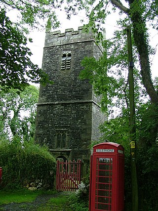
Davidstow is a civil parish and village in north Cornwall, England, United Kingdom. The village is north of Bodmin Moor straddling the A395 road about 3 miles (5 km) north of Camelford. The hamlets of Hallworthy, Hendraburnick, Tremail and Trewassa are in the parish. It was formerly known as Dewstow(e).

Boconnoc is a civil parish in Cornwall, England, United Kingdom, approximately four miles (6 km) east of the town of Lostwithiel. According to the 2011 census the parish had a population of 96.

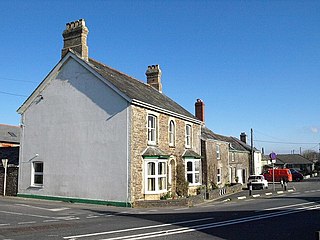
Constantine is a village and civil parish in Cornwall, England, United Kingdom. It is situated approximately five miles (8 km) west-southwest of Falmouth. The electoral ward also bears the same name but includes Budock Water and the surrounding area. At the 2011 census, the population of the ward was 4,709 and the population of the civil parish was 1,789. The parish of Constantine is bounded by the parishes of Mabe, Mawnan, Gweek, Wendron and the north bank of the Helford River.

The Hurlers is a group of three stone circles in the civil parish of St Cleer, Cornwall, England, UK. The site is half-a-mile (0.8 km) west of the village of Minions on the eastern flank of Bodmin Moor, and approximately four miles (6 km) north of Liskeard.

Royal Air Force Davidstow, or more simply RAF Davidstow Moor, is a former Royal Air Force station located 2.9 miles (4.7 km) north east of Camelford, Cornwall and 11.5 miles (18.5 km) west of Launceston, Cornwall, England.

Lesnewth is a civil parish and village in Cornwall, England, United Kingdom. It is about six miles east of Tintagel Head and two miles east of Boscastle.

Trethevy Quoit is a well-preserved megalithic structure between St Cleer and Darite in Cornwall, England, United Kingdom. It is known locally as "the giant's house". Standing 9 feet (2.7 m) high, it consists of five standing stones capped by a large slab and was added to the Heritage at Risk Register in 2017.

Lanivet is a village and civil parish in Cornwall, England, United Kingdom. The village is situated approximately 2+1⁄2 miles (4.0 km) southwest of Bodmin, and before the Bodmin by-pass was built, the A30 road between London and Land's End passed through the village. The Saints' Way long-distance footpath passes Lanivet near its half-way point.

St Endellion is a civil parish and hamlet in north Cornwall, England, United Kingdom. The hamlet and parish church are situated four miles (6.5 km) north of Wadebridge.

St Cleer is a civil parish and village in east Cornwall, England, United Kingdom. The village is situated on the southeast flank of Bodmin Moor approximately two miles (3 km) north of Liskeard. The population of the parish in 2001 numbered 3257. This includes Common Moor and had increased to 3,297 at the 2011 census. An electoral ward also exists. The population at the 2011 census is 4,366.

Menabilly is a historic estate on the south coast of Cornwall, England, situated within the parish of Tywardreath on the Gribben peninsula about 2 miles (3.2 km) west of Fowey.

Otterham is a village and a civil parish in north Cornwall, England, United Kingdom. The village is situated approximately ten miles (16 km) south of Bude and six miles (9.7 km) north of Camelford.

Bodgate is a farmstead in east Cornwall, England, United Kingdom. It is situated in North Petherwin civil parish about 0.5 miles (0.80 km) south of North Petherwin village, five miles (8 km) north-west of Launceston. The parish was transferred from Devon to Cornwall in 1966.

Hallworthy is a hamlet in the parish of Treneglos, Cornwall, England. It is at a crossroads on the A395 road from Davidstow to Launceston. To the east is a plantation called Wilsey Down Forest. It is in the civil parish of Davidstow

Prospidnick is a small village and hill in the parish of Sithney in Cornwall, United Kingdom. It lies 0.6 miles east of Crowntown and 2.6 miles west of Wendron by road. It is divided into Lower Prospidnick and Higher Prospidnick.

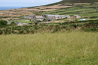
Trevowhan is a hamlet in the parish of Morvah, Cornwall, England, UK, and lies 0.5 miles east of the village of Morvah.

Pawton Quoit is a prehistoric portal dolmen, which dates to the Early and Middle Neolithic period in England. The burial monument is located near Haycrock Farm, south of St Breock, in Cornwall, England.

Lesquite Quoit, is a portal dolmen, located near Lanivet in Cornwall, United Kingdom. It is a ceremonial funerary monument built around 3500 - 2600 BC and used by Britain's early farming communities. There are only 20 portal dolmens surviving in the United Kingdom. Many have suffered from stone-robbing and degradation over time. This example is well preserved, and is a scheduled monument. In 1870, J. Polsue recorded that the local tradition was of the stones "having been thrown to their present location from Helman Tor by the Devil playing quoits."

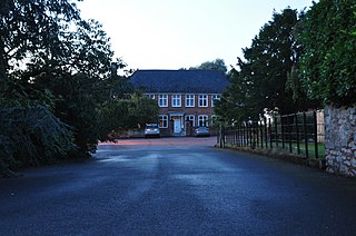
Ford's Moore is an historic estate in the parish of Plymtree in Devon. From before 1161 to 1702 it was the seat of the at Ford family, whose coat of arms is recorded in the heraldic visitation of Devon as Gules, a castle argent crowned or on the port a cross formée of the third. The present farmhouse is a grade II* listed building which remains largely unaltered since it was built in the late 17th century as the mansion-house of the Ford family, when it was one of the earliest brick-built houses in Devon. The interior contains much original decorative plasterwork and carpentry, including a dogleg staircase. A much worn ledger stone survives on the floor of Plymtree Church inscribed: Roger Forde, Esquire, was here buried July the 21st An Do 1631, with another to Thomazin Ford (d.1690) inscribed: Here lyeth the Body of Thomazin Ford, wife of Charles Ford of Plymtree, Esq., and Daughter of Abraham Webber, Gent., who departed This life the xxth day of September in The yeare of Anno Do. 1690, aged 69 yeares. Ann Ford, a co-heiress of Ford's Moore, married William Chave, and purchased or otherwise obtained all the outstanding shares in the property. She bequeathed it to her cousin William Wright of Collumpton, from whom it descended to his niece the wife of Charles Phillpott, the owner in 1822, a banker from Bath in Somerset, commissioned into the Freemasons of Bath in 1784. In 1850 the owner was A. Philpott, Esquire.


