Related Research Articles
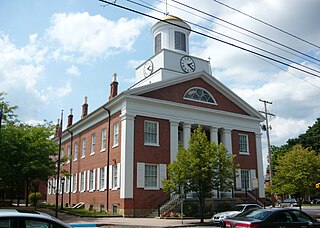
Bedford County is a county in the Commonwealth of Pennsylvania. As of the 2020 census, the population was 47,577. The county seat is Bedford. The county is part of the Southwest Pennsylvania region of the state.

Monroe County is a county in the Commonwealth of Pennsylvania. As of the 2020 census, the population was 168,327. Its county seat is Stroudsburg. The county is part of the Northeast Pennsylvania region of the state.

New Morgan is a borough in Berks County, Pennsylvania, United States. The population was 54 at the 2020 census.
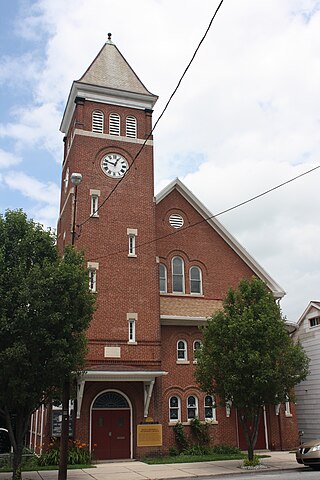
Nesquehoning is a borough in Carbon County, Pennsylvania, United States. It is part of Northeastern Pennsylvania. The population was 3,336 at the 2020 census.

Macungie is borough in Lehigh County, Pennsylvania, United States, its second oldest. As of the 2020 census, Macungie had a population of 3,257.
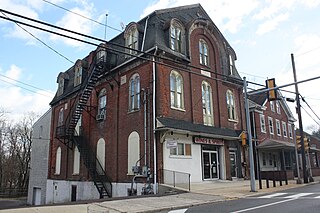
Schwenksville is a borough in Montgomery County, Pennsylvania, United States. The population was 1,431 at the 2020 census. It is notable for being located near the site of the Philadelphia Folk Festival. The borough was founded in 1684, when the Lenni-Lenape Indians ceded to William Penn the land along the Perkiomen Creek; it was incorporated in 1903. The borough was named for George Schwenk, whose son, Jacob Schwenk, served in George Washington's army.

Donegal is a borough in Westmoreland County, Pennsylvania, United States. It is a distinct municipality from the adjacent Donegal Township. The population was 103 at the 2020 census. Donegal is best known as an exit on the Pennsylvania Turnpike with restaurants, gas stations, and two hotels for travelers.

Nether Providence Township is a first class township in Delaware County, Pennsylvania, United States. Many residents refer to the township by the name of its largest community, Wallingford, because the Wallingford postal code is used for most of the township. The population of the township was 13,706 at the 2010 census.

The Laurel Highlands is a region in southwestern Pennsylvania made up of Fayette County, Somerset County, and Westmoreland County. It has a population of about 600,000 people.
The Oley Valley is a valley 10 miles (16 km) northeast of Reading, Pennsylvania. It covers all of Oley, Pike, Ruscombmanor, Alsace, and part of Exeter Township. The valley is drained by Manatawny and Pine Creeks, and is a part of the Schuylkill River system.
Graterford is an unincorporated community in Perkiomen Township, Montgomery County, Pennsylvania, United States.
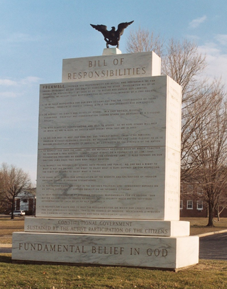
The Freedoms Foundation is an American non-profit, non-partisan, non-sectarian educational organization, founded in 1949. The foundation is located adjacent to the Valley Forge National Historical Park, near Valley Forge, Pennsylvania. In early 2024, the organization merged with the Union League Legacy Foundation to create Founding Forward, a new civic education non-profit.
Lords Valley is an unincorporated community in Blooming Grove Township, Pike County, Pennsylvania, United States. Lords Valley is about 12 miles (19 km) from Milford, 17 miles (27 km) from Hawley, 25 miles (40 km) from Honesdale, 20 miles (32 km) from Port Jervis, New York, 30 miles (48 km) from Stroudsburg, and 80 miles (130 km) from New York City. The Lords Valley zipcode is 18428.
Rittenhouse Gap is the name of a human settlement in Longswamp Township in Berks County, Pennsylvania, United States, situated at 40°28′04″N75°37′47″W.

Pennsylvania's 15th congressional district has been located in western and central Pennsylvania since 2019. Since 2023, the district includes all of Armstrong, Cameron, Centre, Clarion, Clearfield, Clinton, Elk, Forest, Jefferson, McKean, Potter, Snyder, Tioga, Union, and Warren counties and parts of Indiana, Lycoming, and Venango counties.
The Wind Creek Bethlehem, formerly Sands Casino Resort Bethlehem, is a casino hotel located in the Bethlehem Works development site in Bethlehem, Pennsylvania, in the Lehigh Valley region of eastern Pennsylvania. It is owned and operated by Wind Creek Hospitality, an entity of the Poarch Band of Creek Indians.
Lanark is a small unincorporated village located in Upper Saucon Township in Lehigh County, Pennsylvania. It is part of the Lehigh Valley, the third-largest metropolitan area in Pennsylvania.
Monsoon Gallery is the largest independently owned fine art gallery in the Lehigh Valley region of Pennsylvania. Located in Bethlehem, Pennsylvania, it is known for its unique collection of established local, national and international artisans' works of art.
Hemlock Farms Community Association (HFCA) is a census-designated place located in Blooming Grove, Porter and Dingman Townships, in Pike County in the state of Pennsylvania. The community is located south of Interstate 84, and surrounds its namesake, Hemlock Lake. As of the 2010 census, the population was 3,271 residents.
East Mauch Chunk is a former independent borough in Carbon County, Pennsylvania, United States. Located along the east bank of the Lehigh River on the opposite bank from the town business district, it was part of Northeastern Pennsylvania.
References
- ↑ "Mountain Life Is Calling". Hidden Valley Foundation | Mountain Life Is Calling. Retrieved November 3, 2020.
- ↑ Hidden Valley Resort
- ↑ "Hidden Valley, Pennsylvania 1991-2020 Monthly Normals" . Retrieved December 18, 2023.
- ↑ "xmACIS". National Oceanic and Atmospheric Administration. Retrieved December 18, 2023.
