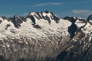
Snowpatch Spire is a mountain peak in British Columbia, Canada. With its first ascent in 1940, it was the last of the Bugaboo Spires to be climbed. It is located southwest of the Conrad Kain hut, between Bugaboo, Vowell and Crescent Glaciers, at the south end of Bugaboo Provincial Park. The mountain's toponym was officially adopted October 29, 1962, by the Geographical Names Board of Canada.

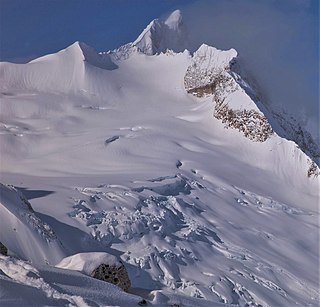
Howser Spire, or Howser Spire Massif, is a group of three distinct granite peaks, and the highest mountain of the Canadian Bugaboo Spires. The mountain is located at the southwest corner of the Vowell Glacier, within the Bugaboo mountain range in the Purcell Mountains, a subrange of British Columbia's Columbia Mountains, The highest of the three spires is the North Tower at 3,412 m (11,194 ft), the Central Tower the lowest, and the South Tower is slightly lower than the North at 3,292 m (10,801 ft).

Deluge Mountain is a mountain summit located in British Columbia, Canada.

Taurus Mountain is a mountain summit located in British Columbia, Canada.

The Virgin is a mountain summit located in British Columbia, Canada.

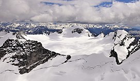
Anniversary Peak is a 2,947-metre (9,669-foot) summit in The Bugaboos of British Columbia, Canada. It is located southeast of the Bugaboo Glacier, on the southern boundary of Bugaboo Provincial Park. Precipitation runoff from Anniversary Peak drains into Bugaboo Creek which is a tributary of the Columbia River. Anniversary Peak is more notable for its steep rise above local terrain than for its absolute elevation as topographic relief is significant with the summit rising 1,350 meters (4,429 ft) above Bugaboo Creek in 4 km (2.5 mi).
Mount Conrad is a 3,279-metre (10,758-foot) mountain summit in British Columbia, Canada.

Flattop Peak is a 3,063-metre (10,049-foot) summit in British Columbia, Canada.

The Four Squatters is a 3,072-metre (10,079-foot) mountain in British Columbia, Canada.

Mount Proteus is a 3,198-metre (10,492-foot) mountain summit in British Columbia, Canada.

Typee Mountain is a 2,897-metre (9,505-foot) summit in British Columbia, Canada.
Pequod Mountain is a 2,979-metre (9,774-foot) summit in British Columbia, Canada.
Moby Dick Mountain is a 3,154-metre (10,348-foot) summit in British Columbia, Canada.

Wrong Peak is a 2,869-metre (9,413-foot) summit in British Columbia, Canada.

Northpost Spire is a 2,911-metre (9,551-foot) peak in British Columbia, Canada.

Wallace Peak is a 2,940-metre (9,650-foot) summit in British Columbia, Canada.

International Mountain is a mountain summit in British Columbia, Canada.
Sentinel Peak is a 2,992-metre (9,816-foot) mountain in British Columbia, Canada.

Sophist Mountain is a 3,001-metre (9,846-foot) mountain in British Columbia, Canada.
Pioneer Peak is a 3,245-metre (10,646-foot) mountain in British Columbia, Canada.