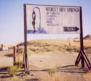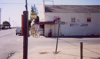
Mercey Hot Springs is an unincorporated community and historical hot springs resort in the Little Panoche Valley of Fresno County, central California, about 60 miles (97 km) west-southwest of Fresno.
KGST is a commercial AM radio station in Fresno, California, broadcasting an ethnic radio format. It is owned by Lotus Communications with studios on East Olive Avenue in Fresno. The station uses a brokered programming plan, with shows in English, Spanish, Portuguese and Armenian.

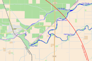
The Kings River Viaduct is a planned series of bridges and embankments carrying California High-Speed Rail over the Kings River in Fresno County and Kings County, California. The site is between the Fresno and Kings–Tulare stations, roughly 4 miles (6.4 km) east of Laton and 8 miles (13 km) north of Hanford. The structure is planned to be over 2 miles (3.2 km) long because three river channels must be crossed, two of which were created by floods in the 1860s.

Helm Field also called Lemoore Auxiliary Army Airfield A-7 is a former US Army Airfield use for training during World War II. Helm Field was location in the town of Coalinga, California, 70 miles south of Fresno. Helm Field had two 3,000 foot runways, one oriented east/west and one oriented northwest/southeast. The Airfield was on a 773 acres site of form farm land. The US Army purchased the land on January 11, 1943 for training pilots. The Airfield was used by the Lemoore Basic Flying School, based at the Lemoore Army Air Field. Helm Field was 15 miles northwest of Lemoore Army Air Field. The Army built at Helm Field to support training stage house, control tower, motor pool building, crash truck shelter and latrines. Helm Field was used by Air Corps Basic Flying School, the AAF Basic Flying School, the AAF Pilot School, the 88th Air Base Squadron, the 3023rd Army Air Force Pilot School and the 461st Army Air Force Base Unit. The army closed Helm Field on October 15, 1844 and the Airfield was sold by the War Assets Administration. Helm Field was used as a farm labor camp in the 1950s. The east/west runway was returned to farmland. The northwest/southeast runway was still intact and was used as a civilian airfield till 1971.


