Huxley is a city in Story County, Iowa, United States. The population was 4,244 at the time of the 2020 census. It is part of the Ames, Iowa Metropolitan Statistical Area, which is a part of the larger Ames-Boone, Iowa Combined Statistical Area.

Hepler is a city in Crawford County, Kansas, United States. As of the 2020 census, the population of the city was 90.
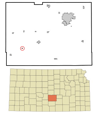
Langdon is a city in Reno County, Kansas, United States. As of the 2020 census, the population of the city was 39.

East Lynne is a city in eastern Cass County, Missouri The population was 303 at the 2010 census. It is part of the Kansas City metropolitan area within the United States.

Crooks is a city in Minnehaha County, South Dakota, United States and is a suburb of Sioux Falls. The population was 1,362 at the 2020 census. Crooks was named New Hope until 1904. The town's present name honors W. A. Crooks, a local politician.
Bayview is a town in Cameron County, Texas, United States. The population was 475 at the 2020 census. It is part of the Brownsville–Harlingen–Raymondville and the Matamoros–Brownsville metropolitan areas.

Lowry Crossing is a city in Collin County, Texas, United States. The population was 1,689 at the 2020 census.

Ravenna is a city in Fannin County, Texas, United States. The population was 175 at the 2020 census.

Southmayd is a city in Grayson County, Texas, United States. The population was 978 at the 2020 census. It is part of the Sherman–Denison Metropolitan Statistical Area.

Tool is a city in Henderson County, Texas, United States. The population was 2,175 at the 2020 census. Located on the west side of Cedar Creek Lake, it is a popular second home and retiree destination.

Mertzon is a city in and the county seat of Irion County, Texas, United States. Its population was 747 according to the 2020 census. It is part of the San Angleo, metropolitan statistical area.

Oak Ridge is a town in Kaufman County, Texas, United States. The population was 771 at the 2020 census, up from 495 at the 2010 census.

Leona is a city in Leon County, Texas, United States. The population was 151 at the 2020 census.
Hallsburg is a city in McLennan County, Texas, United States. The population was 419 at the 2020 census. It is part of the Waco Metropolitan Statistical Area.

Leroy is a city in McLennan County, Texas, United States. The population was 354 at the 2020 census. It is part of the Waco Metropolitan Statistical Area.

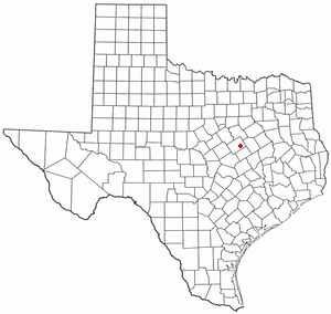
Ross is a rural city in McLennan County, Texas, United States. The population was 245 at the 2020 census. It is part of the Waco Metropolitan Statistical Area.
Angus is a city in Navarro County, Texas, United States. The population was 444 at the 2020 census.

Windermere is a former census-designated place (CDP) in Travis County, Texas, United States. The population was 1,037 at the 2010 census. It has since largely been annexed by the city of Pflugerville.

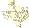
Union Grove is a city in Upshur County, Texas, United States. The population was 441 at the 2020 census.

Edom is a city in Van Zandt County, Texas, United States. The population was 339 at the 2020 census.