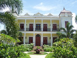
Aceitunas is a barrio in the municipality of Moca, Puerto Rico with a population of 3,098 in 2010. The land area of this subdivision is 5.36 square miles (13.9 km2).

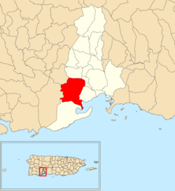
Macaná is a rural barrio in the municipality of Guayanilla, Puerto Rico. Its population in 2010 was 1483.
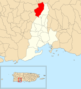
Pasto is a rural barrio in the municipality of Guayanilla, Puerto Rico. Its population in 2010 was 327.

Barrero is a rural barrio in the municipality of Guayanilla, Puerto Rico. Its population in 2010 was 839.

Consejo is a rural barrio in the municipality of Guayanilla, Puerto Rico. Its population in 2010 was 886.

Jaguas is a rural barrio in the municipality of Guayanilla, Puerto Rico. Its population in 2010 was 1413.

Playa Barrio is a rural barrio in the municipality of Guayanilla, Puerto Rico. Its population in 2010 was 1,186.

Encarnación is a barrio in the municipality of Peñuelas, Puerto Rico. Its population in 2010 was 1,378.
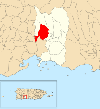
Santo Domingo is a barrio in the municipality of Peñuelas, Puerto Rico. Its population in 2010 was 5,761.

Ángeles is a barrio in the municipality of Utuado, Puerto Rico. Its population in 2010 was 3,056.

Viví Arriba is a barrio in the municipality of Utuado, Puerto Rico. Its population in 2010 was 748.

Santa Isabel is a barrio in the municipality of Utuado, Puerto Rico. Its population in 2010 was 660.
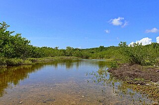
Boca is a rural barrio in the municipality of Guayanilla, Puerto Rico. Its population in 2010 was 1,089.

Llano is a rural barrio in the municipality of Guayanilla, Puerto Rico. Its population in 2010 was 773.

Magas is a rural barrio with an urban area in the municipality of Guayanilla, Puerto Rico. Its population in 2010 was 3,436.

Rufina is a rural barrio in the municipality of Guayanilla, Puerto Rico. Its population in 2010 was 220. Rufina was established in 1935 and was made up of parts of Guayanilla barrio-pueblo and Indios barrio in Guayanilla.

Sierra Baja is a rural barrio in the municipality of Guayanilla, Puerto Rico. Its population in 2010 was 602.

Quebradas is a rural barrio in the municipality of Guayanilla, Puerto Rico. Its population in 2010 was 2,425.
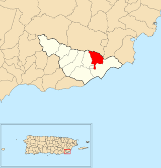
Quebrada Arenas is a barrio in the municipality of Maunabo, Puerto Rico. Its population in 2010 was 1,667.
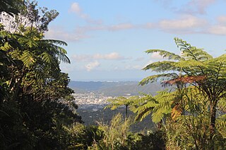
Tomás de Castro is a barrio in the municipality of Caguas, Puerto Rico. Its population in 2010 was 19,414.

