Kanwaka, Kansas | |
|---|---|
 | |
 Kanwaka  Kanwaka | |
| Coordinates: 38°58′00″N95°24′31″W / 38.96667°N 95.40861°W [1] | |
| Country | United States |
| State | Kansas |
| County | Douglas |
| Founded | 1854 |
| Elevation | 1,066 ft (325 m) |
| Time zone | UTC-6 (CST) |
| • Summer (DST) | UTC-5 (CDT) |
| Area code | 785 |
| FIPS code | 20-36065 [1] |
| GNIS ID | 484875 [1] |
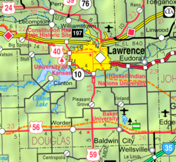
Kanwaka is an unincorporated community in Douglas County, Kansas, United States. [1] It is located four miles west of Lawrence. The name is a portmanteau of the Kansas and Wakarusa Rivers.
