Karapu करापु | |
|---|---|
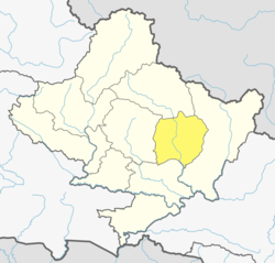
 Karapu Location in Nepal  Karapu Karapu (Nepal) | |
| Coordinates: 28°12′N84°14′E / 28.20°N 84.24°E | |
| Country | |
| Zone | Gandaki Zone |
| District | Lamjung District |
| Population (2011) | |
• Total | 2,003 |
| Time zone | UTC+5:45 (Nepal Time) |
Karapu is a Lamjung District Madhyanepal Municipality word no 08 Gandaki Province of northern-central Nepal. At the time of the 1991 Nepal census it had a population of 2549 people living in 509 individual households. [1]