Marr is one of six committee areas in Aberdeenshire, Scotland. It has a population of 34,038. Someone from Marr is called a Màrnach in Scottish Gaelic.

The Alford Valley Railway is a 2 ft narrow gauge railway in the Howe of Alford, Aberdeenshire, Scotland. It is located at what used to be the terminus of the passenger and goods Alford Valley Railway which connected with the Great North of Scotland Railway main line at Kintore.
William McCombie MP, was a leading Scottish cattle breeder and agriculturist; he was also known as "the grazier king" or the "king of graziers".

Alford is a large village in Aberdeenshire, north-east Scotland, lying just south of the River Don. It lies within the Howe of Alford which occupies the middle reaches of the River Don.

Auchterless is a village in Aberdeenshire, Scotland; grid reference NJ 713 416, postcode AB53 8BG. The nearest large settlement is Turriff. It is traditionally known as "Kirkton of Auchterless".

Logie Coldstone is a village in Aberdeenshire, Scotland. The village lies north of the River Dee, near Tarland in the Cromar, a basin of land cut out of the Grampian foothills between Aboyne and Ballater.

Grampian Transport Museum is a transport museum and charitable-based trust located in Alford, Aberdeenshire, Scotland. Its exhibits chart the history of transport in the north east of Scotland through dramatic displays, working and climb-aboard vehicle exhibits and video presentations.

Durris Forest is a chiefly coniferous forest south of the River Dee approximately three kilometres west of Netherley in Aberdeenshire, Scotland. The A957 road forms the southwest boundary of Durris Forest, separating it from Fetteresso Forest. The Durris Forest includes several smaller named woodlands. The ancient route of Elsick Mounth crosses the Grampian Mounth within the Durris Forest. Notable natural features in the vicinity include Red Moss and Meikle Carewe Hill. Notable historic features in this area include Raedykes Roman Camp, Muchalls Castle and Maryculter House.

Sheldon stone circle is a prehistoric stone circle located to the south of Oldmeldrum in Aberdeenshire, Scotland.

The A980 road is a relatively short 20.6-mile (33.2 km) main road in north-east Scotland.

Fordyce is a village in Aberdeenshire, Scotland that is slightly inland from the point where the Burn of Fordyce meets the sea between Cullen and Portsoy. It has existed since at least the 13th century. In 1990, Charles McKean wrote that Fordyce was "a sheer delight to discover, concealed as it is from the passing eye by hills and rolling countryside".

Kildrummy is a hamlet in Aberdeenshire, Scotland near the River Don, 7 miles west of Alford. The hamlet's primary school closed in 2003.

Alford railway station is a former railway station in Alford, Aberdeenshire which now serves as a terminus for tourist narrow gauge railway, the Alford Valley Railway. The station used to be the terminus of a line, also called the Alford Valley Railway, from Kintore where it joined the Great North of Scotland Railway main line.
Kirkton of Durris is a hamlet in the Kincardine and Mearns area of Aberdeenshire, Scotland. Historic structures in the vicinity include Maryculter House, Durris House and Muchalls Castle.

Castle Forbes is a 19th-century country house in the Scottish baronial architecture style near Alford in Aberdeenshire, Scotland.
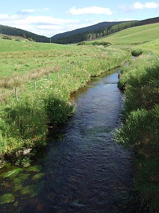
Mossat is a settlement in Aberdeenshire, Scotland on the A97 road near Glenkindie and Lumsden, between Bridge of Alford and Strathdon, and is situated on the Mossat Burn. Mossat has a garden centre, cafe and antique shop.
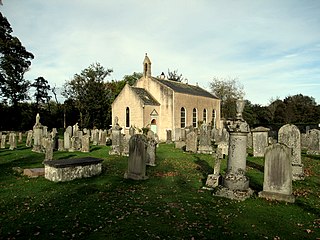
Tullynessle is a hamlet in Aberdeenshire, Scotland, three miles NNW of Alford.
Glass is a parish about 8 miles west of Huntly, Aberdeenshire, Scotland. It is now wholly located in Aberdeenshire but before the reorganisation of Scottish county boundaries in 1891 it was partly in Banffshire. The name Glass may have come from the Gaelic word for "grey," "meadow" or "stream."

Tillyfourie is a hamlet in Aberdeenshire, Scotland. It is situated at the junction between the A944 road and the B993 road.