Lichtenberg, Bas-Rhin

Last updated
Lichtenberg
Lichtenberg Credit CCHLPP.jpg
A general view of Lichtenberg
Blason Lichtenberg 67.svg
Location of Lichtenberg
Lichtenberg, Bas-Rhin
France location map-Regions and departements-2016.svg
Red pog.svg
Lichtenberg
Grand Est region location map.svg
Red pog.svg
Lichtenberg
Coordinates: 48°55′18″N7°28′53″E / 48.9217°N 7.4814°E / 48.9217; 7.4814 Coordinates: 48°55′18″N7°28′53″E / 48.9217°N 7.4814°E / 48.9217; 7.4814
Country France
Region Grand Est
Department Bas-Rhin
Arrondissement Saverne
Canton Ingwiller
Government
  Mayor (20202026) Yves Klein [1]
Area
1
12.12 km2 (4.68 sq mi)
Population
 (Jan. 2019) [2]
550
  Density45/km2 (120/sq mi)
Time zone UTC+01:00 (CET)
  Summer (DST) UTC+02:00 (CEST)
INSEE/Postal code
67265 /67340
Elevation195–411 m (640–1,348 ft)
1 French Land Register data, which excludes lakes, ponds, glaciers > 1 km2 (0.386 sq mi or 247 acres) and river estuaries.

Lichtenberg is a commune in the Bas-Rhin department in Grand Est in north-eastern France. [3]

Contents

The village forms a part of the Parc naturel régional des Vosges du Nord .

Geography

Surrounding communes are Baerenthal in the neighbouring Moselle département to the north-east, Offwiller et Rothbach to the south-east, Ingwiller in the south, Wimmenau in the south-west and Reipertswiller to the north-west.

Landmarks

See also

Related Research Articles

<span class="mw-page-title-main">Bas-Rhin</span> Department of France

Bas-Rhin is a department in Alsace which is a part of the Grand Est super-region of France. The name means 'Lower Rhine', referring to its lower altitude among the two French Rhine departments: it is downstream of the Haut-Rhin department. Note that both belong to the European Upper Rhine region. It is, with the Haut-Rhin, one of the two departments of the traditional Alsace region which until 1871, also included the area now known as the Territoire de Belfort. The more populous and densely populated of the pair, it had 1,140,057 inhabitants in 2019. The prefecture is based in Strasbourg. The INSEE and Post Code is 67.

<span class="mw-page-title-main">Brumath</span> Commune in Grand Est, France

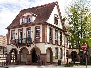
Brumath is a commune in the Bas-Rhin department in Grand Est in north-eastern France.

<span class="mw-page-title-main">Adamswiller</span> Commune in Grand Est, France

Adamswiller is a commune in the Bas-Rhin department in the Grand Est region of northeastern France.

<span class="mw-page-title-main">Ingwiller</span> Commune in Grand Est, France

Ingwiller is a commune in the Bas-Rhin department in Grand Est in north-eastern France.

<span class="mw-page-title-main">Fegersheim</span> Commune in Grand Est, France

Fegersheim is a commune in the Bas-Rhin department in Grand Est in north-eastern France.

<span class="mw-page-title-main">Durningen</span> Commune in Grand Est, France

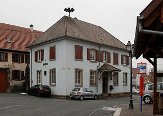
Durningen is a commune in the Bas-Rhin department and Grand Est region of north-eastern France.

<span class="mw-page-title-main">Frohmuhl</span> Commune in Grand Est, France

Frohmuhl is a commune in the Bas-Rhin department in Grand Est in north-eastern France.

<span class="mw-page-title-main">Gries, Bas-Rhin</span> Commune in Grand Est, France

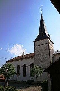
Gries is a commune in the Bas-Rhin département in Grand Est in north-eastern France. It lies 7 km to the south-southeast of Haguenau.

<span class="mw-page-title-main">Gunstett</span> Commune in Grand Est, France

Gunstett is a commune in the Bas-Rhin department in Grand Est in north-eastern France.

<span class="mw-page-title-main">Hengwiller</span> Commune in Grand Est, France

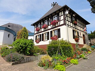
Hengwiller is a commune in the Bas-Rhin department in Grand Est in north-eastern France.

Herbitzheim is a commune in the Bas-Rhin department in Grand Est in north-eastern France.

<span class="mw-page-title-main">Herrlisheim</span> Commune in Grand Est, France

Herrlisheim is a commune in the Bas-Rhin department in Grand Est in north-eastern France. The town dates from the 8th century. Herrlisheim was the scene of very heavy fighting during Operation Nordwind, an offensive launched by the German Army during World War II that inflicted considerable damage to the town.

<span class="mw-page-title-main">Hohengœft</span> Commune in Grand Est, France

Hohengœft is a commune in the Bas-Rhin department in Grand Est in north-eastern France.

<span class="mw-page-title-main">Issenhausen</span> Commune in Grand Est, France

Issenhausen is a commune in the Bas-Rhin department in Grand Est in north-eastern France.

<span class="mw-page-title-main">Jetterswiller</span> Commune in Grand Est, France

Jetterswiller is a commune (township) in the Bas-Rhin department in Grand Est in north-eastern France.

<span class="mw-page-title-main">Knœrsheim</span> Commune in Grand Est, France

Knœrsheim is a commune in the Bas-Rhin department in Grand Est in north-eastern France.

<span class="mw-page-title-main">Lampertsloch</span> Commune in Grand Est, France

Lampertsloch is a commune in the Bas-Rhin department in Grand Est in north-eastern France. It is located less than nine kilometres from the French–German border.

<span class="mw-page-title-main">Reipertswiller</span> Commune in Grand Est, France

Reipertswiller is a commune in the Bas-Rhin department in Grand Est in north-eastern France.

<span class="mw-page-title-main">Schillersdorf</span> Commune in Grand Est, France

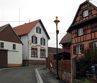
Schillersdorf is a commune in the Bas-Rhin department in Grand Est in north-eastern France.

<span class="mw-page-title-main">Westhoffen</span> Commune in Grand Est, France

Westhoffen is a commune in the Bas-Rhin department and Grand Est region of north-eastern France.

References

  1. "Répertoire national des élus: les maires" (in French). data.gouv.fr, Plateforme ouverte des données publiques françaises. 13 September 2022.
  2. "Populations légales 2019". The National Institute of Statistics and Economic Studies. 29 December 2021.
  3. INSEE commune file