Related Research Articles

The National Geospatial-Intelligence Agency (NGA) is a combat support agency within the United States Department of Defense whose primary mission is collecting, analyzing, and distributing geospatial intelligence (GEOINT) in support of national security. Initially known as the National Imagery and Mapping Agency (NIMA) from 1996 to 2003, it is one of the "big five" members of the United States Intelligence Community.
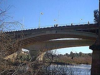
Chelif River is a 700-kilometre-long (430 mi) river in Algeria, the longest in the country. It rises in the Saharan Atlas near the city of Aflou, flows through the Tell Atlas and empties into the Mediterranean Sea north of the city of Mostaganem. The water level in the river often fluctuates. The river is being used for irrigation.

Sidi Bouzid Governorate, sometimes spelt Sidi Bou Zid, is one of the 24 governorates (provinces) of Tunisia. It is in central Tunisia and landlocked. It covers an area of 7405 km2 and has a population of 429,912. The capital is its most populous settlement, Sidi Bouzid.

Fort Sumner was built during the American Civil War by the Union Army in the Brookmont section of Bethesda, Maryland, just northwest of Washington, D.C.
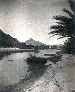
Oued Zouzfana is an intermittent river, or wadi, that flows through the Oriental region in southeastern Morocco and Béchar Province in southwestern Algeria.
Oued El Hatech is a wadi\river of central Tunisia. The Oued El Hatech which rises close to the Algerian border on the west side of Kasserine Governorate and flows through Sidi Bouzid Governorate. Seasonal salt lakes lie in its catchment including the Sebkhet en Noual and Sebkhet Mecheguia. The natural landscape is semi-arid with irrigated areas used for cultivation and grazing. The climate is temperate at night, except in unusual overcast conditions and precipitation is confined largely to winter months/early spring.
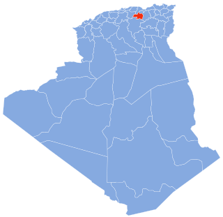
The Bou Sellam River is a river of the Maghreb region in Algeria, in Bordj Bou Arréridj Province.

The Oued Sebt is a small river in Algeria between the city of Gouraya, Tipaza and meselmoun. The post code for the area is 19542.

The Wadi El Harrach is an Algerian river that originates in the Bliden, Atlas Mountains near Hammam Melouane. It is 67 kilometres (42 mi) long and flows into the Mediterranean, right in the middle of the bay of Algiers.
The Oued Mebtouh is a river and the name of a town in the Département d'Oran, Algeria. The river is a tributary of the Macta River.

Rear Admiral Joseph John "Jack" Dantone Jr. of U.S. Navy, was last director of Defense Mapping Agency (DMA) from May 1996 to September 1996. He was also the Acting Director of National Imagery and Mapping Agency (NIMA) from October 1996 to March 1998. He played a major role in transition of DMA into NIMA.

Rear Admiral Edward Anderson Wilkinson Jr. of United States Navy was the Director Defense Mapping Agency from July 1983 to July 1985. He was also the deputy director of Defense Mapping Agency from July 1979 to May 1981.

The El-Oued Mosque is a mosque in Fes el-Bali, the historic medina of Fes, Morocco. It was built in the late 18th or early 19th century on the site of a former 14th-century madrasa by the same name.