Related Research Articles
Articles related to Algeria include:

Boumerdès is a province (wilaya) of northern Algeria, located in the Kabylia region, between Algiers and Tizi-Ouzou, with its capital at the coastal city of Boumerdès just east of Algiers.

Sidi Bouzid Governorate, sometimes spelt Sidi Bou Zid, is one of the 24 governorates (provinces) of Tunisia. It is in central Tunisia and landlocked. It covers an area of 7405 km2 and has a population of 429,912. The capital is its most populous settlement, Sidi Bouzid.

Algiers Province is a province (wilayah) in Algeria, named after its capital, Algiers, which is also the national capital. It is adopted from the old French department of Algiers and has a population of about 8 million. It is the most densely populated province of Algeria, and also the smallest by area.

Thénia is a district in Boumerdès Province, Algeria. It was named after its capital, Thénia which, under French rule, was called Ménerville.

Djemaa Beni Habibi is a municipality of Algeria in Jijel Province. It is located in the northeastern part of the province and close to the Mediterranean coast, 40 kilometres (25 mi) eastern of the city center of Jijel and 90 kilometres (56 mi) northwest of Constantne. It covers 48.25 square kilometres (18.63 sq mi) and is bounded by the west bank of the El-Kebir valley and Seddat mountain. The topography of Djemaa Beni Habibi mostly consists of a chain of mountains covered by forests including oaks, pines, willows, elms, and olives. The climate is temperate, warm and dry in summer, rainy and humid in winter.

Beni Amrane is a town and commune in Boumerdès Province, Algeria. According to the 1998 census it has a population of 21,452.

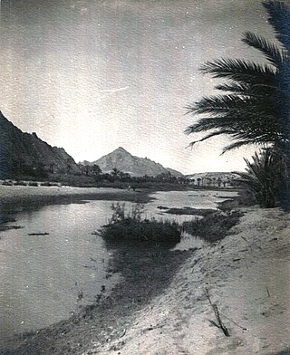
Oued Zouzfana is an intermittent river, or wadi, that flows through the Oriental region in southeastern Morocco and Béchar Province in southwestern Algeria.
Oued El Hatech is a wadi\river of central Tunisia. The Oued El Hatech which rises close to the Algerian border on the west side of Kasserine Governorate and flows through Sidi Bouzid Governorate. Seasonal salt lakes lie in its catchment including the Sebkhet en Noual and Sebkhet Mecheguia. The natural landscape is semi-arid with irrigated areas used for cultivation and grazing. The climate is temperate at night, except in unusual overcast conditions and precipitation is confined largely to winter months/early spring.

The Bou Sellam River is a river of the Maghreb region in Algeria, in Bordj Bou Arréridj Province. The river flows through the Bou Sellam Valley, and is obstructed by the Ain Zada Dam.

The Oued Isser is a river of Algeria. It begins in Médéa Province, is the main river, with Oued Sébaou of the Medea, which runs through the Lower Kabylie of Djurdjura Wilaya of Bouira, then flows into the Mediterranean near the coastal town of Djinet in Lower Kabylia, attached to the province of Boumerdes.

The Wadi El Harrach is an Algerian river that originates in the Bliden, Atlas Mountains near Hammam Melouane. It is 67 kilometres (42 mi) long and flows into the Mediterranean, right in the middle of the bay of Algiers.
The Oued Mebtouh is a river and the name of a town in the Département d'Oran, Algeria. The river is a tributary of the Macta River.

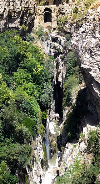
The Rhumel River is the largest river in the Constantine region of Algeria.
The Khachna Range is a mountain range of the Tell Atlas, part of the Atlas Mountain System. It is located in Kabylie, Algeria.

The First Battle of the Issers in May 1837, during the French conquest of Algeria, pitted the troupes coloniales under General Perrégaux and Colonel Schauenburg against the troops of Kabylia of the Igawawen.

The Second Assault of Dellys was an assault by French troupes coloniales under General Thomas Robert Bugeaud (1784–1849) against the Algerian resistance fighters in the town of Dellys, Kabylia of the Igawawen. It was part of the French conquest of Algeria and took place in April–May 1844.
References
- Rand McNally, The New International Atlas, 1993.
- Defense Mapping Agency, 1981
- Defense Mapping Agency, 1981
- GEOnet Names Server