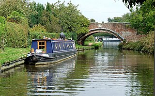
Brownhills is a historic market and industrial town in the Metropolitan Borough of Walsall of the West Midlands, England. The town is located south of Cannock Chase and close to the large Chasewater reservoir, it is 6 miles (9.7 km) northeast of Walsall, a similar distance southwest of Lichfield and 13 miles (20.9 km) miles north-northwest of Birmingham. It is part of the Aldridge-Brownhills parliamentary constituency and neighbours the villages of Pelsall and Walsall Wood. It lies within the boundaries of the historic county of Staffordshire.

South Staffordshire is a local government district in Staffordshire, England. Its council is based in Codsall. Other notable settlements include Brewood, Cheslyn Hay, Coven, Essington, Featherstone, Four Ashes, Great Wyrley, Huntington, Kinver, Landywood, Penkridge, Perton, Wedges Mills, Weston-under-Lizard and Wombourne. The district covers a largely rural area lying immediately to the west and north-west of the West Midlands conurbation.

Wednesfield is a town and historic village in the City of Wolverhampton, in the county of the West Midlands, England, It is 2 miles (3.2 km) east-northeast of Wolverhampton city centre and about 10 miles (16 km) from Birmingham and is part of the West Midlands conurbation. It was historically within the county of Staffordshire.

The Chase Line is a suburban railway line in the West Midlands region of England. It runs from its southern terminus, Birmingham New Street, to Walsall, and then Rugeley Trent Valley in Staffordshire, where it joins the Trent Valley line. The name of the line refers to Cannock Chase which it runs through at its northern end.

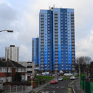
Heath Town is a suburban area of Wolverhampton, in the county of the West Midlands, England, to the east of the city centre. It is also a ward of City of Wolverhampton Council. The ward forms part of the Wolverhampton North East parliamentary constituency.

South Staffordshire was a constituency represented in the House of Commons of the UK Parliament.

Great Wyrley is a village and civil parish in the South Staffordshire district of Staffordshire, England. It forms a built up area with nearby Cheslyn Hay, Churchbridge, Landywood and Little Wyrley. It lies 6 miles north of Walsall and a similar distance from Wolverhampton. Cannock is directly north of the village. It had a population of 11,060 at the 2011 census.

Essington is a village and civil parish in the South Staffordshire, district, in Staffordshire, England, near the city of Wolverhampton and towns of Walsall, Bloxwich, Cannock and Brewood. The villages of Cheslyn Hay, Great Wyrley, Coven, Penkridge and Featherstone are also nearby. The village forms part of the Staffordshire/West Midlands border. The parish includes the hamlet of Springhill. In 2021 the parish had a population of 5200.

Landywood is an area of Great Wyrley in the South Staffordshire district of Staffordshire, England. Landywood is part of the South Staffordshire ward named "Great Wyrley Landywood", It lies 3 miles (4.8 km) north of Bloxwich, 3 miles (4.8 km) south from Cannock and 6 miles (9.7 km) north of Walsall.

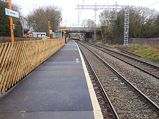
Landywood railway station is situated in the village of Landywood in Staffordshire, England. As well as Landywood, the station also serves the adjacent villages of Cheslyn Hay and Great Wyrley. The LNWR also operated an earlier halt at Landywood which closed on 1 January 1916.

Cheslyn Hay is a former mining village and civil parish in the South Staffordshire district of Staffordshire, England. It is 3 miles south of Cannock, 10 miles north of Walsall, 9 miles northeast of Wolverhampton, and 13 miles south of Stafford. The village forms a built-up area with the villages and areas of Great Wyrley, Landywood, and Churchbridge.
Wyrley and Cheslyn Hay railway station served the villages of Great Wyrley and Cheslyn Hay in Staffordshire, England, between 1858 and 1965.

Bridgtown is a village and civil parish, in the Cannock Chase District of Staffordshire, England. It is situated on the A5 between Cannock and Great Wyrley. There are multiple industrial and retail estates in and around the village, as well as residential areas.

Stone, Great Wyrley and Penkridge is a constituency of the House of Commons in the UK Parliament. Further to the completion of the 2023 Periodic Review of Westminster constituencies, it was first contested at the 2024 general election and is represented by Sir Gavin Williamson of the Conservative Party.

Upper Landywood is a suburb of Great Wyrley in South Staffordshire district of the county of Staffordshire, England.
St Andrew's Church is the parish church of the Landywood area of Great Wyrley in the South Staffordshire District of Staffordshire, England. It is located between the crossroads of Hilton Lane and Shaw's Lane.

Great Wyrley Wesley Methodist Church is an active Methodist church in the Landywood area of Great Wyrley in the South Staffordshire District of Staffordshire, England. It is located between the A34 road and Shaw's Lane. It is a locally listed building.

Upper Landywood Methodist Church is an active Methodist church in the Upper Landywood area of Great Wyrley in the South Staffordshire District of Staffordshire, England. It is located at the junction of Street Lane, Strawberry Lane and Holly Lane. It is a locally listed building.

Salem Church is an active Methodist church in Cheslyn Hay in the South Staffordshire District of Staffordshire, England. It is located at the junction of Landywood Lane and High Street. It is a locally listed building.


