
The Rural Municipality of Hanover is a rural municipality (RM) in southeastern Manitoba, Canada, located southeast of Winnipeg in Division No. 2.
Provincial Trunk Highway 4 is a provincial highway in the Canadian province of Manitoba. The highway connects the city of Selkirk to PTH 59, the main route to Grand Beach and cottage country on the east side of Lake Winnipeg.
Provincial Trunk Highway 6 is a provincial primary highway located in the Canadian province of Manitoba. It runs from the Perimeter Highway of Winnipeg to the Thompson south city limits. It is also the main highway connecting Winnipeg to northern Manitoba. The speed limit is 100 km/h. The route is also used to deliver nickel from the Thompson mine to the Royal Canadian Mint in Winnipeg. The section of highway between its southern terminus near Winnipeg and the second junction with PTH 68 near Eriksdale is part of the Northern Woods and Water Route. The portion of the highway between Ponton and Thompson was known as Highway 391 prior to 1986.
Provincial Trunk Highway 9 is a provincial primary highway located in the Canadian province of Manitoba. It runs from Winnipeg north to Gimli.
Provincial Trunk Highway 8 is a provincial primary highway located in the Canadian province of Manitoba. It runs from the north limit of the City of Winnipeg, where it meets with Route 180, north to Hecla-Grindstone Provincial Park. The highway between Winnipeg and PR 230 is known as McPhillips Street. At PR 230, McPhillips Street becomes McPhillips Road and continues along PR 230 to PTH 9. The route is a major road connecting Winnipeg with the communities of Winnipeg Beach and Gimli. The speed limit is 100 km/h (60 mph).
Provincial Trunk Highway 15 is a provincial highway in the Canadian province of Manitoba. It runs from Winnipeg's Perimeter Highway east to Elma where it ends at PTH 11. PTH 15 and the portion of Route 115 east of PTH 59 are collectively known as Dugald Road.

Provincial Trunk Highway 3 (PTH 3) is a major provincial highway located in the Canadian province of Manitoba. It runs from the Saskatchewan boundary to the southwest city limits of Winnipeg, where it continues as Winnipeg Route 155. Prior before to the implementation of Winnipeg's City Route System, it extended to Pembina Highway.
Provincial Trunk Highway 52 is a provincial highway in the Canadian province of Manitoba. It runs east from PTH 59, through the city of Steinbach, to La Broquerie where it ends at its junction with PR 210 and PR 302. It is a two-lane highway, except from Mitchell to the eastern edge of Steinbach, where it is a divided, four-lane road.

Provincial Trunk Highway 10 is a provincial primary highway located in the Canadian province of Manitoba.
Provincial Trunk Highway 12 is a provincial primary highway located in the Canadian province of Manitoba. Lying entirely in the Eastman Region, it runs from the U.S. border to a dead end in Grand Beach. PTH 12 forms the Manitoba section of MOM's Way, a tourist route from Thunder Bay to Winnipeg. PTH 12 is primarily a two-lane highway except for two four-lane stretch between Steinbach and PTH 1 and a ten-kilometre concurrency with PTH 44.
Provincial Trunk Highway 44 is an east-west provincial highway in the Eastman Region of the Canadian province of Manitoba.
Provincial Trunk Highway 22 is a short north-south provincial highway in the Canadian province of Manitoba. It runs from PTH 23 near Elgin to PTH 2 and PR 250 in Souris. This highway is the main access road to the renowned Souris Swinging Bridge.
Provincial Trunk Highway 50 is a provincial highway in the south-central region of the Canadian province of Manitoba. It runs from PTH 16 to PTH 5 and PR 361 in the village of McCreary.
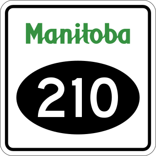
Provincial Road 210 is a 117.2-kilometre-long (72.8 mi) provincial road in the Eastman Region of southeastern Manitoba, Canada. It serves to connect the towns and communities of Woodridge, Marchand, La Broquerie, Ste. Anne, Landmark, Linden, Île-des-Chênes, and St, Adolphe with PTH 12, PTH 59, and PTH 75.

Provincial Road 242 is a north-south provincial road in the Pembina Valley and Central Plains Regions of Manitoba, Canada.

Provincial Road 305 is a provincial road in the Central Plains and Pembina Valley regions of the Canadian province of Manitoba.

Provincial Road 205 is a 84.7-kilometre-long (52.6 mi) provincial road in the Canadian province of Manitoba. Spanning the Pembina Valley and Eastman regions in the south, it connects the communities of Sperling, Rosenort, Aubigny, St. Pierre-Jolys, and Grunthal with PTH 75, while also spanning the Red River.
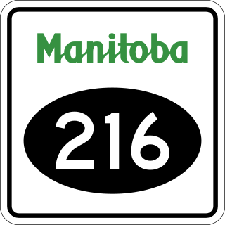
Provincial Road 216 is a provincial road in the Canadian province of Manitoba. The north-south road lies mostly within the Rural Municipality of Hanover, beginning at PR 311 near New Bothwell and ending at PTH 59 near Rosa. PR 216 has a one-kilometre concurrency with PTH 52, between New Bothwell and Kleefeld, and a five-kilometre concurrency with Provincial Road 205 through Grunthal.

Provincial Road 213, more commonly known as Garven Road, is a provincial road in the Canadian province of Manitoba. The road is located in the Rural Municipality (RM) of Springfield, with the westernmost part forming part of the boundary between the RMs of Springfield and East St. Paul.
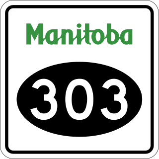
Provincial Road 303 is a short provincial road in the Canadian province of Manitoba.
