Provincial Trunk Highway 16 (PTH 16) is a provincial highway in the Canadian province of Manitoba. It is the Manitoba section of the Yellowhead Highway, and also the Trans-Canada Highway Yellowhead section. The main purpose of this highway is to connect Winnipeg with other Canadian cities such as Saskatoon and Edmonton. The highway runs from Bloom at an intersection with the Trans-Canada Highway and Provincial Road 305 ten kilometres (6.2 mi) west of Portage la Prairie to the Saskatchewan boundary sixteen kilometres (9.9 mi) west of Russell, where it continues as Saskatchewan Highway 16.
Provincial Trunk Highway 16A is a provincial highway in the Canadian province of Manitoba which provides access to the town of Minnedosa. The highway is an alternate route of PTH 16 and PTH 10. Like most alternate routes, it previously served as the main highway through the town.
Provincial Trunk Highway 11 (PTH 11) is a provincial primary highway located in the Eastman Region of the Canadian province of Manitoba. It runs from an intersection with PTH 59 near Victoria Beach to an intersection with PTH 1.
Provincial Trunk Highway 5 is a provincial primary highway located in the Canadian province of Manitoba.

Provincial Trunk Highway 10 is a provincial primary highway located in the Canadian province of Manitoba.
Provincial Trunk Highway 24 is a provincial highway in the Canadian province of Manitoba. It is an east–west route that runs from PTH 83 near Miniota, east through Oak River and Rapid City to the junction of PTH 10 and PR 262 between Brandon and Minnedosa.
Provincial Trunk Highway 22 is a short north-south provincial highway in the Canadian province of Manitoba. It runs from PTH 23 near Elgin to PTH 2 and PR 250 in Souris. This highway is the main access road to the renowned Souris Swinging Bridge.
Provincial Trunk Highway 45 is a provincial highway in the Parkland Region of the Canadian province of Manitoba. It runs from PTH 16 and PTH 83 in the town of Russell to PTH 10 five kilometres (3.1 mi) north of the village of Erickson.
Provincial Trunk Highway 21 is a provincial highway in the Canadian province of Manitoba. It runs from the U.S. border to PTH 45 and PR 577 in the village of Oakburn.
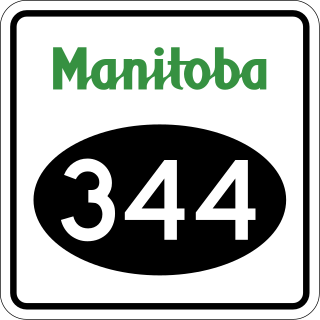
Provincial Road 344 is a very short provincial road in the Westman Region of the Canadian province of Manitoba. It connects the town of Wawanesa with PTH 2 on its western side.

Provincial Road 262 is a 76.4-kilometre-long (47.5 mi) north-south provincial road in the Westman Region of the Canadian province of Manitoba. It serves as a loop route off of PTH 10, connecting Tremaine with Onanole on the south side of Riding Mountain National Park via Minnedosa, Clanwilliam, Hilltop, and Scandinavia.

Provincial Road 354 is a 108.9-kilometre-long (67.7 mi) north-south provincial road in the Westman Region of the Canadian province of Manitoba.

Provincial Road 353 is a 34.4-kilometre-long (21.4 mi) east-west provincial road in the Westman Region of the Canadian province of Manitoba.
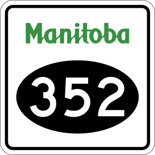
Provincial Road 352 is a 92.6-kilometre-long (57.5 mi) provincial road that straddles the border between the Central Plains, Westman, and Parkland regions of the Canadian province of Manitoba.

Provincial Road 349 is a provincial road in the Westman Region of the Canadian province of Manitoba.

Provincial Road 250 is a provincial road in the Canadian province of Manitoba. It a north-south route that provides access to the towns of Souris and Rivers from the Trans-Canada Highway.

Manitoba Provincial Road 263 is a former provincial road in the Canadian province of Manitoba.
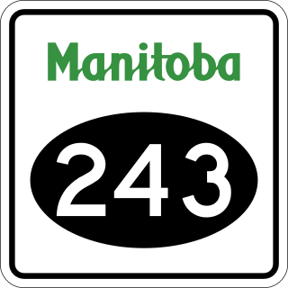
Provincial Road 243 is an east-west provincial road in the Pembina Valley Region of the Canadian province of Manitoba. It runs from PTH 75 near Emerson to PTH 32 near Friedensfeld West. Along the route, it passes north of Gretna using a small concurrence with PTH 30.

Provincial Road 482 is provincial road in the far western part of the Canadian province of Manitoba.

Provincial Road 465 is a 24-kilometre-long (15 mi) east-west provincial road in the Westman Region of the Canadian province of Manitoba.
