Mohawk Hill, New York | |
|---|---|
 Mohawk Hill  Mohawk Hill | |
| Coordinates: 43°31′29″N75°28′11″W / 43.5247917°N 75.4696221°W | |
| Country | United States |
| State | New York |
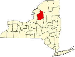
| County | Lewis |
| Town | West Turin |
| Elevation | 1,778 ft (542 m) |
| Time zone | UTC-5 (Eastern (EST)) |
| • Summer (DST) | UTC-4 (EDT) |
| ZIP code | 13325 (Constableville) |
| Area codes | 315 / 680 |
Mohawk Hill is a hamlet in the town of West Turin in Lewis County, New York, United States. It is located on New York State Route 26, southwest of the village of Constableville.