This is a list of properties and districts in Mississippi that are listed on the National Register of Historic Places. There are more than 1,400 sites distributed among all of Mississippi's 82 counties.

This is a list of the National Register of Historic Places listings in Marshall County, Alabama.

This is a list of the National Register of Historic Places listings in Delaware County, Ohio.

This is a list of the National Register of Historic Places listings in Marshall County, Iowa.

This is a list of the National Register of Historic Places listings in Tama County, Iowa.

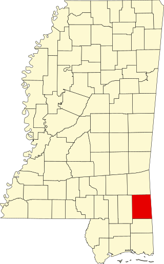
This is a list of the National Register of Historic Places listings in Adams County, Mississippi.

This is a list of the National Register of Historic Places listings in Clay County, Mississippi.

This is a list of the National Register of Historic Places listings in Marshall County, South Dakota.
This is a list of the National Register of Historic Places listings in Marshall County, Tennessee.
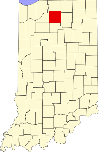
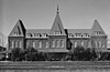
This is a list of the National Register of Historic Places listings in Marshall County, Indiana.
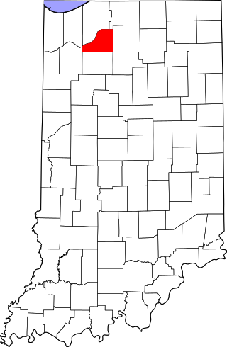
This is a list of the National Register of Historic Places listings in Starke County, Indiana.

This is a list of the National Register of Historic Places listings in Rankin County, Mississippi.

This is a list of the National Register of Historic Places listings in Bolivar County, Mississippi.

This is a list of the National Register of Historic Places listings in Arkansas County, Arkansas.

This is a list of the National Register of Historic Places listings in Marshall County, West Virginia.
This is a list of the National Register of Historic Places listings in Greene County, Mississippi.
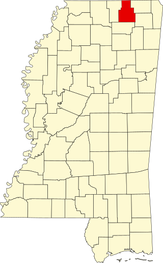
This is a list of the National Register of Historic Places listings in Tippah County, Mississippi.

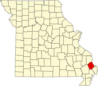
This is a list of the National Register of Historic Places listings in Mississippi County, Missouri.

This is a list of the National Register of Historic Places listings in Pemiscot County, Missouri.
This is a list of the National Register of Historic Places listings in Scott County, Missouri.