This article needs additional citations for verification .(May 2025) |
Neem Ka Thana | |
|---|---|
City | |
 Neem Ka Thana | |
 Neem Ka Thana Location in Rajasthan, India | |
| Coordinates: 27°44′06″N75°46′47″E / 27.735018°N 75.779730°E | |
| Country | |
| State | Rajasthan |
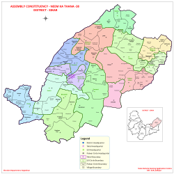
| District | Sikar |
| Government | |
| • Member of the Legislative Assembly | Suresh Modi |
| Elevation | 446 m (1,463 ft) |
| Population | |
• Total | 36,000 |
| Languages | |
| • Official | Dhundhari, Hindi, Rajasthani |
| • Spoken | Shekhawati & Torawati |
| Time zone | UTC+5:30 (IST) |
| PIN | 332713 |
| ISO 3166 code | RJ-IN |
| Vehicle registration | RJ-23B |
| Website | https://neemkathana.rajasthan.gov.in/ |
Neem Ka Thana is a city in Sikar district located 73 km from Sikar City in the Shekhawati region in the Rajasthan state of India. [1] Sikar, Udaipurwati, Khandela, Sri Madhopur, Kotputli, Khetri, and Narnaul are some major cities and towns near Neem Ka Thana. It is located at a distance of 119 kilometers from Jaipur and 241 kilometers from Delhi. Neem Ka Thana is well connected with others cities in the region with roads and Indian Railways.