| North Beer | |
|---|---|
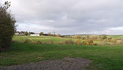 North Beer from South Beer | |
 North Beer Location within Cornwall | |
| OS grid reference | SX307919 |
| Civil parish | |
| Unitary authority | |
| Ceremonial county | |
| Region | |
| Country | England |
| Sovereign state | United Kingdom |
North Beer is a hamlet in the parish of Boyton in north Cornwall, England. [1] North Beer is west of Boyton. [2]