North Kawartha was formed on January 1, 1998, through an amalgamation of the Townships of Burleigh and Anstruther and the Township of Chandos. Until December 1999, it was known as Burleigh-Anstruther-Chandos.[2]
Communities
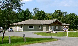
Apsley
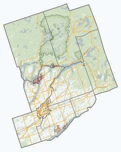
Within the township are smaller urbanized areas such as the village of Apsley, and the hamlets of Big Cedar, Burleigh Falls, Glen Alda, Mount Julian, Stoneyridge and Woodview. These communities are surrounded by freshwater lakes including Chandos, Jack, Anstruther, Eels, and many more.
Kawartha comes from an aboriginal word Ka-wa-tha, meaning "land of reflections". For more on this etymology, see Kawartha Lakes.[3]:176
Demographics
In the 2021 Census of Population conducted by Statistics Canada, North Kawartha had a population of 2,877 living in 1,364 of its 3,693 total private dwellings, a change of 16.1% from its 2016 population of 2,479. With a land area of 746.35km2 (288.17sqmi), it had a population density of 3.9/km2 (10.0/sqmi) in 2021.[1]
North Kawartha also has several golf courses, including Marvel Rapids golf course and Owenbrook golf course.[9]
Education
Apsley Central Public School, is the only school located in Apsley and provides education from kindergarten to grade 8.[10] The school is under the jurisdiction of the Kawartha Pine Ridge District School Board. Secondary education requires travel outside to Peterborough.[citation needed]
This page is based on this Wikipedia article Text is available under the CC BY-SA 4.0 license; additional terms may apply. Images, videos and audio are available under their respective licenses.