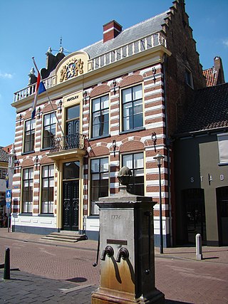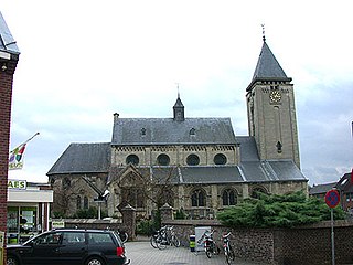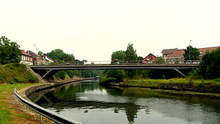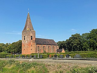
Bedum is a former municipality and a town in the northeastern Netherlands. Populated by data missing inhabitants in 2021, Bedum is one of the larger of Groningen's several satellite towns. On 1 January 2019 it merged with the municipalities of De Marne, Eemsmond and Winsum to form the new municipality Het Hogeland.

Noordenveld is a municipality in the northeastern part of the Netherlands.

Lingewaard is a municipality in the eastern Netherlands. It is located in the province of Gelderland, in the most eastern part of the Betuwe. The municipality is situated in the lowlands between the major cities of Arnhem and Nijmegen, where many inhabitants work. Since 2021 it has been part of the Arnhem-Nijmegen Green Metropolitan Region, which aids planning and development in the region's eighteen municipalities.

Hattem is a municipality and a city in the eastern Netherlands. The municipality had a population of 12,228 in 2021. The municipality includes the hamlet of 't Zand.

Rhenen is a municipality and a city in the central Netherlands. The municipality also includes the villages of Achterberg, Remmerden, Elst and. The town lies at a geographically interesting location, namely on the southernmost part of the chain of hills known as the Utrecht Hill Ridge, where this meets the river Rhine. Because of this Rhenen has a unique character with quite some elevation through town.

Sint-Oedenrode is a town in the Dutch province of North Brabant.

Oostzaan is a municipality and a town in the Zaanstreek, Netherlands, in the province of North Holland. The municipality had a population of 9,689 in 2021. Oostzaan has a total area of 16.08 km2 (6.21 sq mi) of which 4.55 km2 (1.76 sq mi) is water.

Camperduin (Kamperduin) is a hamlet in the Dutch province of North Holland. It is a part of the municipality of Bergen, and lies about 12 km northwest of Alkmaar.

Echt-Susteren is a municipality in the southeastern Netherlands. Echt-Susteren was created in 2003 by merging the former municipalities of Echt and Susteren.

Lanaken is a municipality located in the Belgian province of Limburg. On January 1, 2007, the municipality of Lanaken had a total population of 24,724. Its area is 59.00 km2 which gives a population density of 415 inhabitants per km2.

's-Heer Abtskerke is a village in the Dutch province of Zeeland. It is a part of the municipality of Borsele, and lies about 19 km east of Middelburg.

Alphen is a village in the municipality of Alphen-Chaam, in the Netherlands. It is located about 12 km southwest of Tilburg.

Onstwedde is a village in the region of Westerwolde and part of Groningen in the Netherlands. It is located in the municipality of Stadskanaal.

Bantega is a village in the Dutch province of Friesland. It is located in the municipality De Fryske Marren, and lies about 6 km east of the town of Lemmer.

Nij Altoenae is a village in Waadhoeke municipality in the province of Friesland, the Netherlands. It had a population of around 300 in January 2017.

Het Wild is a village in the southern Netherlands, located in the municipality of Oss, North Brabant on the left bank of the river Meuse. Het Wild is a settlement without a church and the smallest inhabited place in the former municipality of Lith.

De Baarsjes is a district in Amsterdam-West situated west of the city center of Amsterdam, Netherlands. Named after a former hamlet, urban development started in the 1920s. It contains the neighbourhoods Admiralenbuurt, Chassébuurt, Postjesbuurt, and Trompbuurt.

Onderdendam is a village in Het Hogeland municipality in the province of Groningen, the Netherlands. It had a population of around 575 in 2021.

Het Hogeland is a municipality in the north of the province of Groningen in the northeast of the Netherlands.

Brongerga is a hamlet in the Dutch municipality of Heerenveen in the province of Friesland. It is located in the Oranjewoud Park area, east of the village of Oranjewoud. It also formally falls under Oranjewoud.


