This article relies largely or entirely on a single source .(January 2021) |
Orange Park Acres, California | |
|---|---|
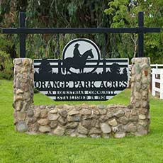 Orange Park Acres entrance | |
 Orange Park Acres, California  Orange Park Acres, California | |
| Coordinates: 33°48′07″N117°46′53″W / 33.80194°N 117.78139°W | |
| Country | United States |
| State | California |
| County | Orange |
| Time zone | UTC-8 (PST) |
| • Summer (DST) | UTC-7 (PDT) |
| ZIP code | 92869 |
| Area code | 714 |
| Website | Orange Park Acres community association |
Orange Park Acres is an unincorporated community and census designated place (CDP) surrounded by the city of Orange in Orange County, California. Orange Park Acres is bordered by Santiago Canyon Road to the north and Chapman Avenue to the South. It comprises approximately 5,500 residents and is about 1.4 square miles (3.6 km2) in size. Almost all the homes in this county island are set on lots of 20,000 square feet (2,000 m2), a minimum requirement for this sector of Orange County. Most residents in the area are upper-middle-class or wealthy. [1] It has several equestrian areas, and many stables throughout the community. The area has one shopping center and is adjacent to Santiago Canyon College. The ZIP Code is 92869, and the community is inside area code 714.

