This article needs additional citations for verification .(January 2017) |
| Pant | |
|---|---|
| Village and community | |
 Pant Station, Brecon Mountain Railway | |
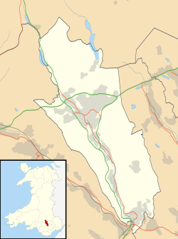 Pant Location within Merthyr Tydfil | |
| Principal area | |
| Country | Wales |
| Sovereign state | United Kingdom |
| Police | South Wales |
| Fire | South Wales |
| Ambulance | Welsh |

Pant is a village and community on the outskirts of Merthyr Tydfil, a large former mining town in the South Wales Valleys, Wales. Pant is notable for being the starting point of the Brecon Mountain Railway, and the site of the former Morlais railway tunnel, which runs underneath the village and emerges in the middle of it. The population of the community at the 2011 census was 2,656. [1]
