
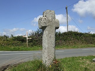
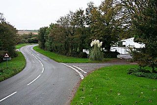
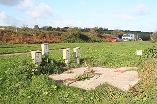
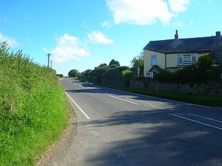
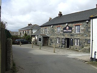
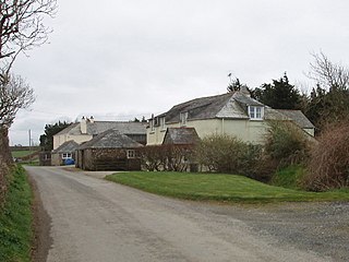
Pengover Green is a hamlet east of Liskeard in east Cornwall, England. [1]
Pengover Green is a hamlet east of Liskeard in east Cornwall, England. [1]
Local abattoir, Peake (GB) Limited is situated 900m southwest of the hamlet.
Dobwalls and Trewidland is a former civil parish in south-east Cornwall, England, United Kingdom.

Luckett is a hamlet in east Cornwall, England. It is situated in a former mining area beside the River Tamar approximately three miles (5 km) north of Callington. According to the Post Office the population at the 2011 census was included in the civil parish of Stokeclimsland
Cambrose is a hamlet east of Portreath in west Cornwall, England, UK.

Clowance Wood is a hamlet in the civil parish of Crowan in west Cornwall, England. Clowance Wood is situated 1 mile (1.6 km) east of Leedstown and 4.7 miles (7.6 km) north-west of Helston.
Cockwells is a hamlet in the civil parish of Ludgvan in Cornwall, England and situated on the A30 road north-east of the village of Crowlas.

Demelza is a hamlet in the parish of St Wenn, Cornwall, England, UK. Demelza is situated 1 mile (1.6 km) south-east of St Wenn and lies at around 114 metres (374 ft) above sea level.

Eastcott is a hamlet 6 miles (9.7 km) north-east of Bude in Cornwall, England. The hamlet is 1 mile (1.6 km) east of Gooseham in the civil parish of Morwenstow and lies within the Cornwall Area of Outstanding Natural Beauty (AONB).

Ellenglaze is a hamlet near the village of Cubert north of Perranporth in Cornwall, England. It lies close to the edge of Penhale Sands (dunes).
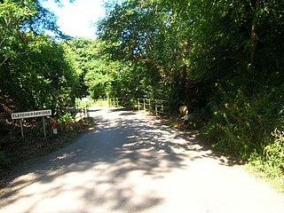
Fletchersbridge is a hamlet about 2 miles (3.2 km) east-south-east of Bodmin in Cornwall, England. in the valley of the River Fowey. Fletchersbridge lies at around 47 metres (154 ft) above sea level and is in the civil parish of Bodmin.
Garker is a hamlet situated 3 miles (4.8 km) north-east of St Austell in Cornwall, England. Garker lies close to the western edge of the Eden Project visitor attraction. Garker is in the civil parish of Carlyon.
Kelly is a hamlet in the parish of Egloshayle, Cornwall, England.
Longstone is a hamlet in Cornwall, England, UK. It is part of the civil parish of St Mabyn, and is about one mile east of St Mabyn village on the B3266 road. It is named after the menhir which formerly stood here.

Maders is a hamlet west of Kelly Bray in the parish of South Hill in east Cornwall, England.

Millendreath is a hamlet in the parish of Looe, Cornwall, England, situated two miles east of the town of Looe.
Muchlarnick is a hamlet in Cornwall, England. It is about two miles east of Lanreath in the civil parish of Pelynt.
Newtown-in-St Martin is a hamlet in the parish of St Martin-in-Meneage, Cornwall, England. Newtown is south-southeast of St Martin's Green.
Paul's Green is a hamlet between Leedstown and Townshend in west Cornwall, England, UK.
Rosecare is a hamlet in the parish of St Gennys, Cornwall, England. Rosecare is east of Higher Crackington.

Trefanny Hill is a hamlet in the parish of Duloe, Cornwall, England, United Kingdom. The hamlet was formerly called Hille or Hill.

West Taphouse is a hamlet in Cornwall, England. It is on the A390 road west of Middle Taphouse and East Taphouse.
![]() Media related to Pengover Green at Wikimedia Commons
Media related to Pengover Green at Wikimedia Commons
| Unitary authorities | |
|---|---|
| Major settlements |
|
| Rivers | |
| Topics | |
Coordinates: 50°27′41″N4°25′24″W / 50.4613305°N 4.423454°W
| | This Cornwall location article is a stub. You can help Wikipedia by expanding it. |