Pilot Knob, New York | |
|---|---|
 Pilot Knob, New York  Pilot Knob, New York | |
| Coordinates: 43°30′57″N73°37′45″W / 43.51583°N 73.62917°W | |
| Country | United States |
| State | New York |
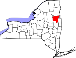
| County | Washington, Warren |
| Elevation | 325 ft (99 m) |
| Population | |
• Total | 199 |
| Time zone | UTC-5 (Eastern (EST)) |
| • Summer (DST) | UTC-4 (EDT) |
| ZIP code | 12844 [1] |
| Area code(s) | 518 & 838 |
| GNIS feature ID | 960406 [2] |
Pilot Knob is a hamlet in Washington and Warren counties, New York, United States. The community is located on the eastern shore of Lake George; while the Washington-Warren county line largely follows the shoreline, placing most of the community in Washington County, a small portion lies on the Warren County side. [3]
The total City Population for Pilot Knob is about 199 with about 105 people per square mile. [4]