
County Cavan is a county in Ireland. It is in the province of Ulster and is part of the Northern and Western Region. It is named after the town of Cavan and is based on the historic Gaelic territory of East Breffny (Bréifne). Cavan County Council is the local authority for the county, which had a population of 81,201 at the 2022 census.

Dowra is a village and townland in northwest County Cavan, Ireland. Located in a valley on Lough Allen, it is the first village on, and marks the most uppermost navigable point of, the River Shannon. On one side of its bridge is County Cavan; on the other is County Leitrim. The nucleus of the village is situated on the Cavan side. It is located on the junction of the R200 and R207 regional roads.

Belcoo ( is a small village and townland in County Fermanagh, Northern Ireland, 10 miles from Enniskillen. It is on the County Fermanagh/County Cavan border beside the village of Blacklion in the Republic of Ireland. It had a population of 540 in the 2011 Census. It is situated within the Fermanagh and Omagh District.

Blacklion is a border village in west County Cavan, Ireland. It is situated on the N16 national primary road, just across the border from the County Fermanagh village of Belcoo.

Cullyleenan is a townland in the Parish of Tomregan, Barony of Tullyhaw, County Cavan, Ireland.

Mullaghduff is a townland in the Parish of Tomregan, Barony of Tullyhaw, County Cavan, Ireland.
Cloncollow is a townland in the Parish of Tomregan, Barony of Loughtee Lower, County Cavan, Ireland.
Corranierna is a townland in the Parish of Tomregan, Barony of Tullyhaw, County Cavan, Ireland. (Disambiguation see also- Corranierna townland, County Cavan, Republic of Ireland.)
Mullynagolman is a townland in the Parish of Tomregan, Barony of Loughtee Lower, County Cavan, Ireland.
Killywillin is a townland in the civil parish of Templeport, County Cavan, Ireland. It lies in the Roman Catholic parish of Templeport and barony of Tullyhaw.
Killyran is a townland in the civil parish of Templeport, County Cavan, Ireland. It lies in the Roman Catholic parish of Templeport and barony of Tullyhaw.
Mullaghmore is a townland in the civil parish of Templeport, County Cavan, Ireland. It lies in the Roman Catholic parish of Templeport and barony of Tullyhaw.

Clontygrigny is a townland in the civil parish of Kildallan, barony of Tullyhunco, County Cavan, Ireland.
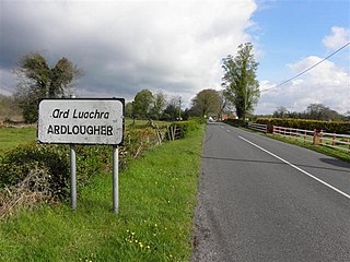
Ardlougher is a townland in the civil parish of Kildallan, barony of Tullyhunco, County Cavan, Ireland.
Aghabane is a townland in the civil parish of Kildallan, barony of Tullyhunco, County Cavan, Ireland.

Greaghrahan is a townland in the civil parish of Drumlane, Barony of Loughtee Lower, County Cavan, Ireland.

Tomkinroad is a townland in the civil parish of Drumlane, Barony of Loughtee Lower, County Cavan, Ireland.

Ardue is a townland in the civil parish of Drumlane, Barony of Loughtee Lower, County Cavan, Ireland.
Killywilly is a townland in the civil parish of Drumlane, Barony of Loughtee Lower, County Cavan, Ireland.
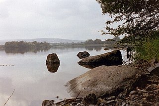
Rockfield Lake, also known as Rockfield Lough, is a lake or lough situated between Carrigallen and Killeshandra, two small towns on the northern edge of the Midlands in Ireland. Part of the lake is in County Leitrim, which is part of the Province of Connacht, while most of the lake is in County Cavan, which is part of the Province of Ulster. This means that the provincial boundary between Connacht and Ulster runs through the lough. The Cullies River flows through Rockfield Lake, entering the lake at its southern end and flowing out of the lake at its north-western end. This small river flows from nearby Cullies Lake, and flows on, via Drumhart Lake, through Rockfield Lake to Glasshouse Lake.
