Geography
Red Banks is in central Marshall County, 8 miles (13 km) northwest of Holly Springs, the county seat. Mississippi Highway 178 passes through the south side of the community, leading southeast to Holly Springs and northwest 8 miles (13 km) to Byhalia. Interstate 22 runs along the southern edge of the community, with access from Exit 21 (South Red Banks Road). I-22 leads southeast 67 miles (108 km) to Tupelo and northwest to the Memphis, Tennessee, area. Downtown Memphis is 38 miles (61 km) northwest of Red Banks.
According to the U.S. Census Bureau, the Red Banks CDP has an area of 2.66 square miles (6.89 km2), all land. [1] The center of town sits on a low divide between north-flowing tributaries of the Coldwater River and south-facing slopes that lead to Red Banks Creek, which flows west to the Coldwater. The entire community lies within the Tallahatchie River watershed.

Marshall County is a county located on the north central border of the U.S. state of Mississippi. As of the 2020 census, the population was 33,752. Its county seat is Holly Springs. The county is named for Chief Justice of the United States John Marshall, who presided in the early nineteenth century.

Byhalia, is a town in Marshall County, Mississippi, United States. The population was 1,339 as of the 2020 census.
Arkabutla is a census-designated place and unincorporated community in Tate County, Mississippi, United States. Arkabutla is located approximately 9 miles (14 km) west of Coldwater and approximately 9 miles (14 km) north of Strayhorn. It also lies approximately 4 miles (6.4 km) south of the dam at Arkabutla Lake. Although an unincorporated community, it has a post office and a zip code of 38602.
Eudora is a census-designated place and unincorporated community located in southwestern DeSoto County, Mississippi, United States, approximately 25 miles (40 km) south of Memphis, Tennessee. The intersection of Mississippi Highway 301 and old Mississippi Highway 304 has been the traditional heart of Eudora for decades.
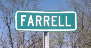
Farrell is an unincorporated community and census-designated place in Coahoma County, Mississippi, United States. Per the 2020 census, the population was 200. Farrell is located approximately 4 miles (6 km) south of Stovall and 4 miles (6 km) north of Sherard on Mississippi Highway 1. It is approximately 9 miles (14 km) northwest of Clarksdale, the county seat.
Independence is a census-designated place and unincorporated community in Tate County, Mississippi, United States.
Lake View is a census-designated place and unincorporated community located in DeSoto County, Mississippi, United States, near the Mississippi/Tennessee border just south of Memphis and north of the village of Walls. Lake View is located on the former Yazoo and Mississippi Valley Railroad.

White Oak is a census-designated place located on Mississippi Highway 4 in Tunica County, Mississippi. White Oak is approximately 2 miles (3.2 km) east of Evansville and approximately 8 miles (13 km) west of Savage. The population at the 2020 census was 692.
Cincinnati is an unincorporated community and census-designated place (CDP) in northwestern Washington County, Arkansas, United States. It was first listed as a CDP in the 2020 census with a population of 306.

Waterford is a census-designated place and unincorporated community in Marshall County, Mississippi, United States. It is a small town located between Holly Springs and Oxford on Highway 7.
Mount Pleasant is a census-designated place and unincorporated community in Marshall County, Mississippi, United States, located along U.S. Highway 72 at State Highway 311. The community has a volunteer fire department on Boswell Road, and a K-12 school located off Highway 72.
Victoria is a census-designated place and unincorporated community in Marshall County, Mississippi, United States. It was first listed as a CDP in the 2020 census, which recorded a population of 1,066.
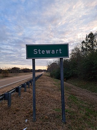
Stewart is a census-designated place and unincorporated community in Montgomery County, Mississippi, United States. As of the 2020 census, it had a population of 99.
Lemannville is an unincorporated community and census-designated place in Ascension and St. James parishes, Louisiana, United States. It was first listed as a CDP in the 2010 Census. Per the 2020 census, the population was 695.
Morgantown is a census-designated place (CDP) in Adams County, Mississippi, United States, located to the northeast of the city of Natchez. As of the 2020 census, it had a population of 1,334.
Bethlehem is a census-designated place and unincorporated community in Marshall County, Mississippi, United States. Its ZIP code is 38659.

Dorseyville is a census-designated place (CDP) in Iberville Parish, Louisiana, United States, corresponding to the unincorporated community of Dorcyville or Dorseyville. Dorseyville was first listed as a CDP prior to the 2020 census with a population of 159.
Arrowhead Lake is an unincorporated community and census-designated place (CDP) in Cumberland County, in the U.S. state of New Jersey. It is in the northwestern part of the county, in the northern part of Stow Creek Township. A small artificial lake is in the northwestern part of the CDP, with a residential neighborhood on its southern shore.
White Knoll is an unincorporated area and census-designated place (CDP) in Lexington County, South Carolina, United States. It was first listed as a CDP in the 2020 census with a population of 7,858.
Ben Avon is an unincorporated area and census-designated place (CDP) adjacent to the city of Spartanburg in Spartanburg County, South Carolina, United States. It was first listed as a CDP prior to the 2020 census. The population as of 2020 was 2,428.


