
U.S. Route 176 is a spur of US 76 in the U.S. states of North Carolina and South Carolina. The U.S. Highway runs 237.98 miles (382.99 km) from US 25 Business and North Carolina Highway 225 in Hendersonville, North Carolina, east to US 52 in Goose Creek, South Carolina. US 176 serves the transition region between the Blue Ridge Mountains and Foothills of Western North Carolina and the Upstate, Midlands, and Lowcountry regions of South Carolina. The highway passes through and connects Spartanburg, one of two major cities in the Upstate, and Columbia, the South Carolina state capital and central city of the Midlands. US 176 parallels and serves as a secondary highway to Interstate 26 (I-26) except for between Spartanburg and Columbia, where the U.S. Highway deviates from the I-26 corridor to serve Union.

South Carolina Highway 5 (SC 5) is a 51.719-mile (83.234 km) primary state highway in the U.S. state of South Carolina. The highway, signed as north–south, travels in a northwest–southeast direction connecting the cities of Rock Hill, York and Blacksburg.

South Carolina Highway 9 (SC 9) is a 259.570-mile (418 km) major state highway in the U.S. state of South Carolina. The highway travels from Cherry Grove Beach to the North Carolina state line upstate. The highway is currently the longest state highway in South Carolina. It is signed as a north–south highway, even though it travels in an east–west direction.
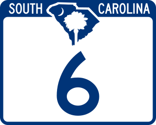
South Carolina Highway 6 (SC 6) is a 116.092-mile (186.832 km) primary state highway in the U.S. state of South Carolina. It extends from US 76 in Ballentine to US 52/SC 6 Truck in Moncks Corner. It uniquely links all three of the major hydropower projects in South Carolina: Lake Murray, Lake Marion, and Lake Moultrie.
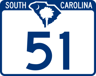
South Carolina Highway 51 (SC 51) is a primary state highway in the U.S. state of South Carolina. It is unique for having two segments, which are separated by over one hundred miles (160 km) from each other. The first segment, traveling north–south, connects the cities of Georgetown and Florence, via the towns of Hemingway, Johnsonville, and Pamplico. The second segment, near Fort Mill, is a reciprocated continuation of North Carolina Highway 51 (NC 51) from the North Carolina state line to U.S. Route 21 (US 21).

U.S. Highway 29 (US 29) is a 110.202-mile (177.353 km) north–south United States Numbered Highway that travels from the Savannah River to Blacksburg, entirely in Upstate South Carolina.

South Carolina Highway 170 (SC 170) is a 49.010-mile (78.874 km) state highway, connecting northern Beaufort County with southern portions of Beaufort and Jasper counties. Due to increased population growth in both areas, the majority of the road is four lanes wide, with certain areas retaining the original two-lane configuration.

South Carolina Highway 28 (SC 28) is a 131.220-mile (211.178 km) primary state highway in the U.S. state of South Carolina. It consists of two segments of highway signed as east–west but physically traveling north–south from the Georgia state line near Mountain Rest to Beech Island. It is part of a continuous highway separated by a 17.5-mile (28.2 km) stretch through Augusta, Georgia.

South Carolina Highway 121 (SC 121) is a 134.200-mile (215.974 km) major state highway that travels north and south in central parts of the U.S. state of South Carolina. The highway is actually part of a long multi-state highway that also exists in Florida and Georgia, as Florida State Road 121 and Georgia State Route 121, respectively.

South Carolina Highway 41 (SC 41) is a 121.5-mile (195.5 km) state highway, connecting the Charleston region with eastern portions of the Pee Dee region in South Carolina. It serves as an alternative route to U.S. Route 52.

South Carolina Highway 72 (SC 72) is a 124.860-mile (200.943 km) state highway, traversing interior portions of the South Carolina Piedmont region. This route is part of a multi two-state route 72 that begins at Athens, Georgia and ends at Rock Hill, South Carolina. The route connects many smaller communities outside major metropolitan areas and is roughly parallel with Interstate 85 (I-85) to the north and I-20 and I-77 to the south and east. The route shares the longest concurrency in the state with SC 121, from Whitmire to Rock Hill.
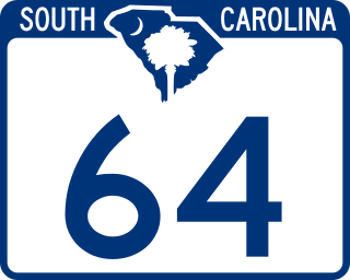
South Carolina Highway 64 (SC 64) is a 73.730-mile (118.657 km) primary state highway in the U.S. state of South Carolina. It serves the cities of Barnwell and Walterboro while also providing a direct route to Charleston, via U.S. Route 17 (US 17).
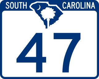
South Carolina Highway 47 (SC 47) is a 5.740-mile (9.238 km) primary state highway in the U.S. state of South Carolina. It serves to connect the town of Elloree with U.S. Route 301 (US 301).
South Carolina Highway 45 (SC 45) is a 76.060-mile (122.407 km) primary state highway in the U.S. state of South Carolina. It serves as the main thoroughfare in northern Berkeley County.

South Carolina Highway 496 (SC 496) is a 1.640-mile (2.639 km) primary state highway in the U.S. state of South Carolina. It serves as an unsigned state-maintained truck route through and around Union.
South Carolina Highway 20 (SC 20) is a primary state highway in the U.S. state of South Carolina. The highway connects the cities of Abbeville, Belton, Williamston and Greenville. The 53-mile-long (85 km) highway is signed as a west-east highway though it physically runs south-to-north.
South Carolina Highway 19 (SC 19) is a 28.750-mile (46.269 km) primary state highway in the U.S. state of South Carolina. It connects Aiken directly with the Savannah River Site and Edgefield via U.S. Route 25 (US 25).

South Carolina Highway 150 (SC 150) is a 33.580-mile (54.042 km) primary state highway in the U.S. state of South Carolina. The highway connects Pacolet and Gaffney with the more rural areas of Spartanburg and Cherokee counties.

South Carolina Highway 329 (SC 329) is a 6.350-mile (10.219 km) primary state highway in the U.S. state of South Carolina. It serves as an eastern bypass to the town of Gaffney.

South Carolina Highway 105 (SC 105) is a 33.220-mile-long (53.462 km) state highway in the U.S. state of South Carolina. The highway connects rural areas of Union and Cherokee counties.

