
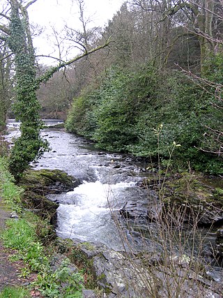
The Walkham is a river whose source is on Dartmoor, Devon, England. It rises in the wide gap between Roos Tor and Great Mis Tor and flows almost due south for approximately 3 miles (4.8 km) leaving the tors and thus National Park behind then south-west for 1 mile (1.6 km) past Woodtown. The river then reaches a village, Horrabridge, with a small compact network of streets mainly on the south or left bank. It receives most of its tributaries which are unnamed headwaters along its south-flowing inception, draining the near side of two series of six tors (peaks) to the west ending in Pew Tor at 320 metres and likewise to the east ending in Leeden Tor at 389 metres. In absolute distance, 2 miles (3.2 km) west of the village and the same south of the small well-preserved town of Tavistock by a footbridge on the West Devon Way the Walkham joins the Tavy which discharges into the Tamar Estuary north of the Plymouth conurbation after a fast descent around wide hillsides, a few miles south.
The Rame Peninsula is a peninsula in south-east Cornwall. It is surrounded by the English Channel to the south, Plymouth Sound to the east, the Hamoaze to the northeast and the estuary of the River Lynher to the north-west. On a clear day, the Atlantic Ocean can be seen from advantageous points from Rame Head. The largest settlement is Torpoint, which is on the eastern coast, facing Devonport in Plymouth, Devon.
Bedard Aspen Provincial Park is a provincial park in British Columbia, Canada, located in the Cornwall Hills to the west of Cache Creek-Ashcroft in that province's Thompson Country region. The valley of Hat Creek is to its west.
Blue Earth Lake Provincial Park is a provincial park in the Upper Hat Creek area at the south end of the Cornwall Hills, just northwest of Ashcroft, British Columbia, Canada.
Cornwall Hills Provincial Park is a provincial park in British Columbia, Canada, immediately west of Cache Creek, protecting part of the Cornwall Hills including their highest summit which features an old fire lookout.
Harry Lake Aspen Provincial Park is a provincial park in British Columbia, Canada, located northwest of Ashcroft near the upper basin of Hat Creek.
Oregon Jack Provincial Park is a provincial park in British Columbia, Canada located in the Clear Range west of Ashcroft. It protects the limestone canyon of Oregon Jack Creek, at the head of which is a waterfall named the Notch, above which is included a wetland area. The site was an important First Nations site and there are pictographs, culturally modified trees and a site known as the Three Sisters Rock Shelter.
Philleigh is a civil parish and village in Cornwall, England, one of the four civil parishes in the Roseland Peninsula. The civil parish includes the hamlets of Treworlas, Treworthal and a number of smaller settlements.
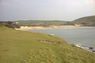
Daymer Bay is a bay and a beach on the east side of the River Camel estuary in north Cornwall, England, United Kingdom. It is situated approximately six miles (10 km) north of Wadebridge.

The Screech Owl Sanctuary and Animal Park is a home for owls and other animals located near St Columb Major in Cornwall, England. It was founded in 1990 by Carolyn Screech.

Port Navas Creek, or Porthnavas Creek, is one of seven creeks off the Helford River in Cornwall, England, United Kingdom. It splits into three sections with the village of Porth Navas on the west, Trenarth Bridge in the middle and the eastern one is near Budock Veane. The creek is well known for the oyster beds.

The Par River, also known as the Luxulyan River is a river draining the area north of St Blazey in Cornwall, in the United Kingdom.
SS Eastfield was a 2,150-ton armed steamship which was torpedoed by the German U-boat SM UB-57 on 27 November 1917. The wreck sits intact at 50°14.255′N4°42.262′W at a depth of 50 metres (160 ft) off Mevagissey, Cornwall. The cargo of coal can be found scattered on the sea bed nearby.
The Cornish Way is a cycle route which is part of the National Cycle Network that links Bude to Land's End. The route is via Padstow or St Austell and is 180 miles in length.

The River Allen in north Cornwall is one of two rivers in Cornwall which share this name. In this case the name is the result of a mistake made in 1888 by Ordnance Survey, replacing the name Layne with Allen which is the old name for the lower reaches of the Camel. The other River Allen runs through Truro.

Luckett is a hamlet in east Cornwall, England. It is situated in a former mining area beside the River Tamar approximately three miles (5 km) north of Callington. According to the Post Office the population at the 2011 census was included in the civil parish of Stokeclimsland
Meddon Moor is a Site of Special Scientific Interest (SSSI) in Cornwall, England. The moor is located in the very north-eastern corner of Cornwall, on the border with Devon, within the civil parish of Morwenstow. The Devon village of Meddon lies 500 metres (1,600 ft) to the north-east of the moor.

The River Kensey is a river in east Cornwall, England, UK which is a tributary of the River Tamar.
The River Seaton is a river in east Cornwall, England, UK which flows southwards for 11 miles (17 km) into the English Channel.

Bude Town Football Club is a football club based in Bude, Cornwall, England. They are currently members of the South West Peninsula League Premier Division West and play at Broadclose Park, Bude.
