St Lucia | |
|---|---|
 Saint Lucia Main Beach | |
 St Lucia  St Lucia | |
| Coordinates: 28°22′59″S32°25′01″E / 28.383°S 32.417°E | |
| Country | South Africa |
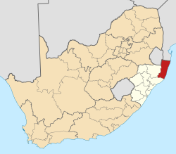
| Province | KwaZulu-Natal |
| District | Umkhanyakude |
| Municipality | Mtubatuba |
| Area | |
• Total | 2.68 km2 (1.03 sq mi) |
| Population (2022) [1] | |
• Total | 1,104 |
| • Density | 410/km2 (1,100/sq mi) |
| Racial makeup (2022) | |
| • Black African | 21.0% |
| • Coloured | 3.8% |
| • Indian/Asian | 2.1% |
| • White | 72.3% |
| • Other | 0.8% |
| First languages (2022) | |
| • Afrikaans | 47.2% |
| • English | 41.9% |
| • Zulu | 11.4% |
| • Other | 1.5% |
| Time zone | UTC+2 (SAST) |
| PO box | 3936 |
| Area code | 035 |
St Lucia is a settlement in Umkhanyakude District Municipality in the KwaZulu-Natal province of South Africa. The small town is mainly a hub for the iSimangaliso Wetland Park. [2]