Staves, Arkansas | |
|---|---|
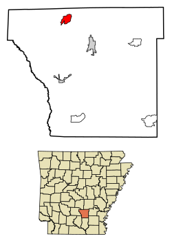 Location in Cleveland County and Arkansas | |
 Staves Location in the United States | |
| Coordinates: 34°01′52″N92°16′41″W / 34.03111°N 92.27806°W | |
| Country | United States |
| State | |
| County | Cleveland |
| Township | White Oak |
| Area | |
• Total | 2.44 sq mi (6.31 km2) |
| • Land | 2.44 sq mi (6.31 km2) |
| • Water | 0.0039 sq mi (0.01 km2) |
| Elevation | 253 ft (77 m) |
| Population (2020) | |
• Total | 133 |
| • Density | 54.6/sq mi (21.09/km2) |
| Time zone | UTC-6 (Central (CST)) |
| • Summer (DST) | UTC-5 (CDT) |
| Area code | 870 |
| GNIS feature ID | 2582923 [2] |
Staves is a census-designated place in Cleveland County, Arkansas, United States. Per the 2020 census, the population was 133. [3]
Contents
Staves was known locally as the "Y" Community, because State Route 212 created a "Y" where it intersected State Route 35, with connectors leading both north and south from State Route 212's east–west direction. The road has since been modified and a third stretch of road has been added to connect State Route 212 at a 90-degree angle to State Route 35.
