Stoneyburn
| |
|---|---|
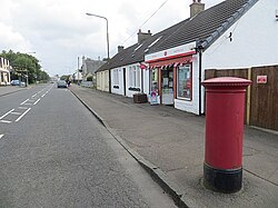 Stoneyburn Post Office | |
 Stoneyburn Location within West Lothian | |
| Population | 1,980 (2020) [1] |
| OS grid reference | NS978628 |
| Council area | |
| Lieutenancy area | |
| Country | Scotland |
| Sovereign state | United Kingdom |
| Post town | Bathgate |
| Postcode district | EH47 |
| Dialling code | 01501 |
| Police | Scotland |
| Fire | Scottish |
| Ambulance | Scottish |
| UK Parliament | |
| Scottish Parliament | |
Stoneyburn is a village in West Lothian, Scotland. The village was the site of a large coalmine, since discontinued. Nearby towns include Bathgate, Whitburn, Addiewell and Blackburn. Around two thousand people inhabit the village (2022), which is around 1+1⁄2 miles (2.5 kilometres) in length, clustered around the B7015 to Fauldhouse and Livingston.