
Canelones is the capital of the department of Canelones in Uruguay. Its name is derived from a species of cinnamon, which is called "canelón", growing along the banks of the homonymous river. Since 2010, the city is also the seat of the municipality of Canelones.
Shangrilá is a coastal resort or residential neighbourhood of the Ciudad de la Costa in the Canelones Department of Uruguay.
Ciudad de la Costa is a city in Canelones Department of Uruguay, on the banks of the Río de la Plata between the streams Arroyo Carrasco and Arroyo Pando. It is considered an extension of the metropolitan area of Montevideo which it borders to the west, while to the east it borders Costa de Oro. It was declared a city on 19 October 1994 and given its current name. At the 2011 census, it was the second most populated city of Uruguay between Montevideo and Salto.
Pando is a city in the Canelones Department of Uruguay. It is an important commercial and industrial centre which has become part of the wider metropolitan area of Montevideo.
El Pinar is a seaside resort of the Canelones Department, Uruguay. In 1994, when Ciudad de la Costa took on the status of a city, El Pinar was incorporated in it.
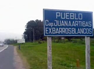
Barros Blancos is a city in the Canelones Department of southern Uruguay. In 1976, it had been renamed to Juan Antonio Artigas, after commanding officer Juan Antonio Artigas, grandfather of the national hero José Gervasio Artigas, but the old name was reinstated in 2007.
Barrio La Lucha is a barrio of La Paz in the Canelones Department of southern Uruguay.
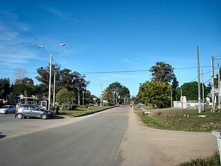
General Seregni is a town in the Canelones Department of southern Uruguay.
Neptunia is a resort town of the Costa de Oro in the Canelones Department of southern Uruguay.
Villa Aeroparque is a small town or urban fragment (fraccionamiento) in the Canelones Department of southern Uruguay.
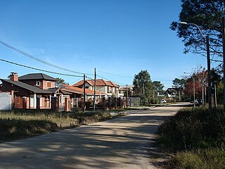
Villa Argentina is a resort (balneario) of the Costa de Oro in the Canelones Department of southern Uruguay. The famous eagle-shaped house overlooking the Río de la Plata, which is attributed to Atlántida, is in fact located in this resort.
Parque Carrasco is a residential neighbourhood and resort of Ciudad de la Costa in Canelones, Uruguay.

Lagomar is a residential neighbourhood and resort of Ciudad de la Costa in Canelones, Uruguay.
San José de Carrasco is a residential neighbourhood and resort of Ciudad de la Costa in Canelones, Uruguay.
Barra de Carrasco is a residential neighbourhood and resort of Ciudad de la Costa in Canelones, Uruguay. Its name means "mouth of the Carrasco Creek".

El Bosque is a small neighbourhood of Ciudad de la Costa in the Canelones Department of southern Uruguay.
Fraccionamiento Ruta 84, also called Casarino, is a populated area composed of several fragments on both sides of Route 84, southwest of the town of Joaquín Suárez and east of Toledo in the Canelones Department, Uruguay. It is part of the wider Montevideo Metropolitan Area.
Paso de Carrasco or Paso Carrasco is a city in the Canelones Department of Uruguay.

Villa Paz S.A. is an urban fragment adjoined to the city of La Paz in the Canelones Department, southern Uruguay.
Lomas de Carrasco is a residential area in the Canelones Department of southern Uruguay.

