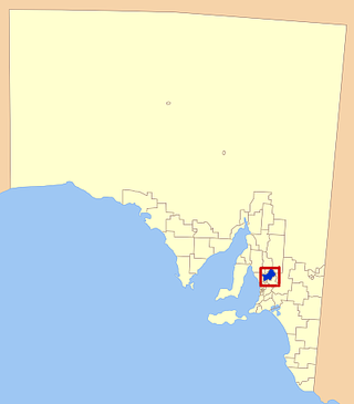
Light Regional Council is a local government area north of Adelaide in South Australia. It is based in the town of Kapunda, and includes the towns of Freeling, Greenock, Hansborough, Hewett, Roseworthy and Wasleys.

Templers is a small town on the Horrocks Highway north of Gawler, South Australia. The town was named after William Templer who, with his wife Martha, was the licensee of the North Star hotel in the area from 1846 to 1878.
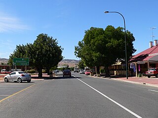
Lyndoch is a town in Barossa Valley, located on the Barossa Valley Highway between Gawler and Tanunda, 58 km northeast of Adelaide. The town has an elevation of 175m and an average rainfall of 560.5mm. It is one of the oldest towns in South Australia.

Penneshaw is a township in the Australian state of South Australia located on the northeast coast of the Dudley Peninsula on Kangaroo Island about 107 kilometres (66 mi) south of the state capital of Adelaide. It is the island's main ferry port with regular services from Cape Jervis. Penneshaw features a Maritime and Folk Museum, and evening tours to a colony of little penguin, the only species of penguin to breed in Australian waters. At the 2011 census, Penneshaw had a population of 276.

Ovingham is an inner northern suburb of Adelaide, South Australia. It is located in the cities of Charles Sturt and Prospect.

Dudley Park, is a suburb of Adelaide, South Australia, located approximately 3 kilometres north-west of the CBD. The suburb is bordered by Regency Road (north), Simpson Avenue (south), the Adelaide-Gawler railway line (east), and a line directly north–south from the Harrison Road-Simpson Avenue intersection to Regency Road (west).
Devon Park is an inner northern suburb of Adelaide, South Australia. It is located in the cities of Port Adelaide Enfield and Charles Sturt beside the Gawler railway line near, but not meeting, the intersection of Torrens Road and Churchill Road.

Yatina is a town and locality in the Australian state of South Australia located on the RM Williams Way about 222 kilometres (138 mi) north of the state capital of Adelaide and about 31 kilometres (19 mi) and 21 kilometres (13 mi) respectively from the municipal seats of Jamestown and Orroroo.

Angle Vale is a semi-rural town on the Adelaide Plains between Gawler and Virginia in South Australia. It is steadily being surrounded by Adelaide's suburban sprawl. It is close to many vineyards and farms. The town includes Trinity College's Gawler River campus, Angle Vale Primary School and Riverbanks College. Some students travel to nearby towns or to Gawler.
Penfield is a northern suburb of Adelaide, South Australia, in the City of Playford.
Penfield Gardens is a northern suburb of Adelaide, South Australia in the City of Playford. It is in the urban fringe on the Adelaide Plains, with major industries including market gardening and harness racing horse training.
Samuel Perry was an industrialist in the State of South Australia.
Buchfelde is now a suburb of Gawler, South Australia, on the northern outskirts of Adelaide in South Australia.

Kangaroo Flat is a locality northwest of Gawler in South Australia. It is on the Gawler to Mallala road in the vicinity of the turnoff to Roseworthy College and Wasleys. The locality used to have a school, Methodist church and a debating club, but these are now closed. In 1946, Kangaroo Flat Football Club was formed and joined the Gawler Football Association in the B Grade.

The Gawler Football Club was an Australian rules football club that was founded in June 1868 based at Gawler in the Township of Gawler about 39 km to the north-north east of Adelaide, South Australia.
Grace Plains is a rural locality in South Australia on the northern Adelaide Plains about 64 kilometres (40 mi) north of the state capital of Adelaide. It is divided between the Adelaide Plains Council and the Wakefield Regional Council. The formal boundaries were established in June 1997 for the long established local name with respect of the section in the District Council of Mallala ; the portion in the Wakefield council was added in January 2000. It is named after Grace Montgomery Farrell, widow of Rev C. B. Howard, the first South Australian Colonial Chaplain; she later married James Farrell, Dean of Adelaide.
Gum Creek is a rural locality in the Mid North region of South Australia, situated in the Regional Council of Goyder. It was established in August 2000, when boundaries were formalised for the "long established local name". It is named for the Gum Creek pastoral property, which originally extended from Farrell Flat to Mount Bryan, with the homestead being located in the Gum Creek locality. The property was owned by a number of notable figures, with Sir John Duncan succeeding Sir Walter Hughes as owner.
Daniel Garlick was an architect in the early days of South Australia. During his lifetime, his architectural practice names were Garlick & Son and Jackman & Garlick. After his death his name was perpetuated by two rival firms: Garlick & Sibley and then Garlick, Sibley & Wooldridge; and Garlick & Jackman and then Garlick, Jackman & Gooden.
The Hundred of Mudla Wirra is a cadastral unit of hundred located on the northern Adelaide Plains of South Australia, first proclaimed in 1847. The hundred is bounded on the north by the Light River and on the south by the Gawler River.

Woolsheds is a locality in the lower Mid North of South Australia north of the road between Gawler and Mallala.
