
Medora is a town in Carr Township, Jackson County, Indiana, United States. The population was 693 at the 2010 census.

Green Level is a town in Alamance County, North Carolina, United States. It is part of the Burlington, North Carolina Metropolitan Statistical Area. As of the 2020 census, the population was 3,156.

Aulander is a town in Bertie County, North Carolina, United States. The population was 895 at the 2010 census.
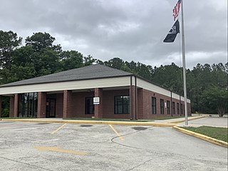
Shallotte is a town in Brunswick County, North Carolina, United States. The population was 3,675 at the 2010 census. The Shallotte River passes through the town.
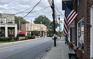
Mount Pleasant is a town located in eastern Cabarrus County, North Carolina, United States. As of the 2010 census, the town population was 1,652. The town center is located at the crossroads of Mount Pleasant Road and North Carolina Highway 73. NC Highway 49 skirts the town to the north on its way from Charlotte to Asheboro.
Brunswick is a town in Columbus County, North Carolina, United States. The population was 1,119 at the 2010 census.
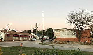
Youngsville is a town in Franklin County, North Carolina, United States. The population was 2,016 at the 2020 census.

McLeansville is an unincorporated community and census-designated place (CDP) in Guilford County, North Carolina, United States. The population was 1,021 at the 2010 census.

Pleasant Garden is a town in Guilford County, North Carolina, United States.

Clyde is a town in Haywood County, North Carolina, United States. The 2010 census recorded the population at 1,223 people. It is part of the Asheville Metropolitan Statistical Area.

Bailey is a town in Nash County, North Carolina, United States. It is part of the Rocky Mount, North Carolina Metropolitan Statistical Area. The population was 566 at the 2020 census.
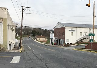
Franklinville is a town in Randolph County, North Carolina, United States. The population was 1,164 at the 2010 census.

Ruth is a town in Rutherford County, North Carolina, United States. The population was 440 at the 2010 census.
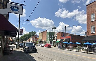
Pilot Mountain is a town in Surry County, North Carolina, United States. The population was 1,443 at the 2020 census. It is named for the nearby landmark of Pilot Mountain, a distinctive geological formation.

Black Creek is a town in Wilson County, North Carolina, United States. The population was 769 at the 2010 census.
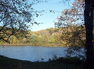
Perry Township is a township in Fayette County, Pennsylvania, United States. The population was 2,339 at the 2020 census, a decline from the figure of 2,552 tabulated in 2010. The Frazier School District serves the township.
Ulmer is a town in Allendale County, South Carolina, United States. The population was 65 at the 2020 census.
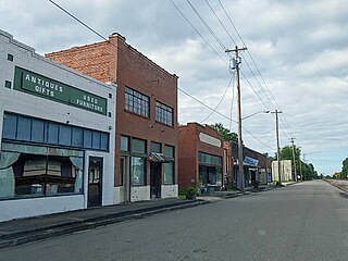
St. Stephen is a town in Berkeley County, South Carolina, United States. The population was 1,697 at the 2010 census.

Great Falls is a town in Chester County, South Carolina, United States and is located fourteen miles southwest of Lancaster, South Carolina. The population was 1,951 at the 2020 census.

Newsoms is a town in Southampton County, Virginia, United States. The population was 282 at the 2000 census.


